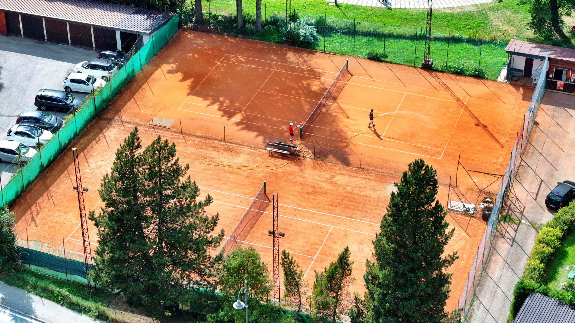
The cycle paths running across Valsesia are four.
The number 1 follows the length of the valley almost completely, from Balmuccia to Alagna.
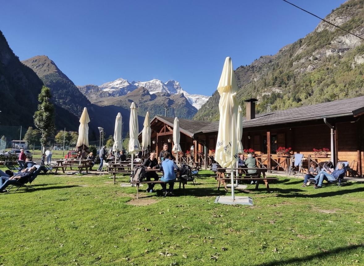
Yellow signs with the silhouette of a cyclist and the number 1, which identifies the itinerary, will guide you along the entire Valsesia, for about 31 km. Through Scopa, Scopello, Pila, Piode, Campertogno, Mollia and finally up to Alagna.
Departure: Balmuccia
Arrival: Alagna
Length: Km. 31
Difference in altitude: 772 m uphill, 190 m downhill
Duration: 4.5/5 hours
Physical difficulty: medium/easy
Technical difficulty: easy
E-Bike charging stations: Campertogno (km.17.5), Alagna
Period: spring, summer, autumn
Parking: On the Provincial Road 299 near Balmuccia, you will find the first yellow sign of the cycle path. Turn right and continue following the yellow signs until you reach the parking of the Balmuccia School. You can also follow the signs that bear the name Monrosa, until you reach the parking of the Rafting Center Monrosa.
Update: start from Scopa
The characteristic of this route, also known as the Valsesia route, is its accessibility. It can be traveled by selecting one section instead of the whole path. Each stretch has a signposted access along the Provincial Road of Alagna 299. If you don’t want to travel all 31 km of its lenght, you can access in Scopa, Scopello, Piode, Campertogno, Mollia, Riva Valdobbia. Just follow the indicated access on the SP 299. The distances of the individual sections measure about 5 km.
A map, which groups routes 1, as well as 2 and 3, is available at the Tourist Offices of Varallo, Scopello, Alagna, and also in the shops marked by the yellow sticker with the same symbol. The map, also exposed on the bulletin boards located along the routes, indicates access points, charging stations for electric bicycles, and the most demanding points to tackle.
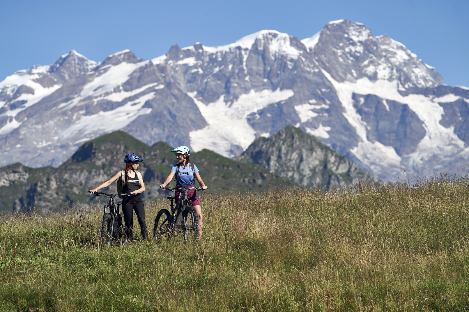
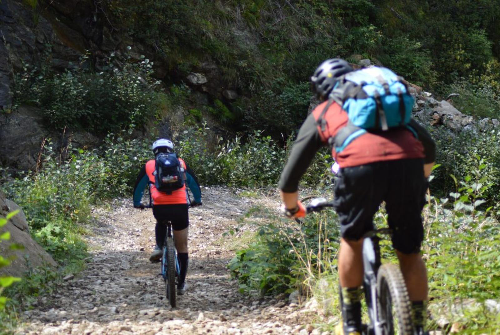
Which bike to choose?
Definitely a Mountain Bike or an E-MTB, and if you need to rent it, you can also do it in Varallo, Scopa, Mollia and Alagna.
We always advise you to check the conditions of the route before leaving and to request information and a map from the nearest Tourist Office.
See the route, the map and download the GPX track on Outdooractive