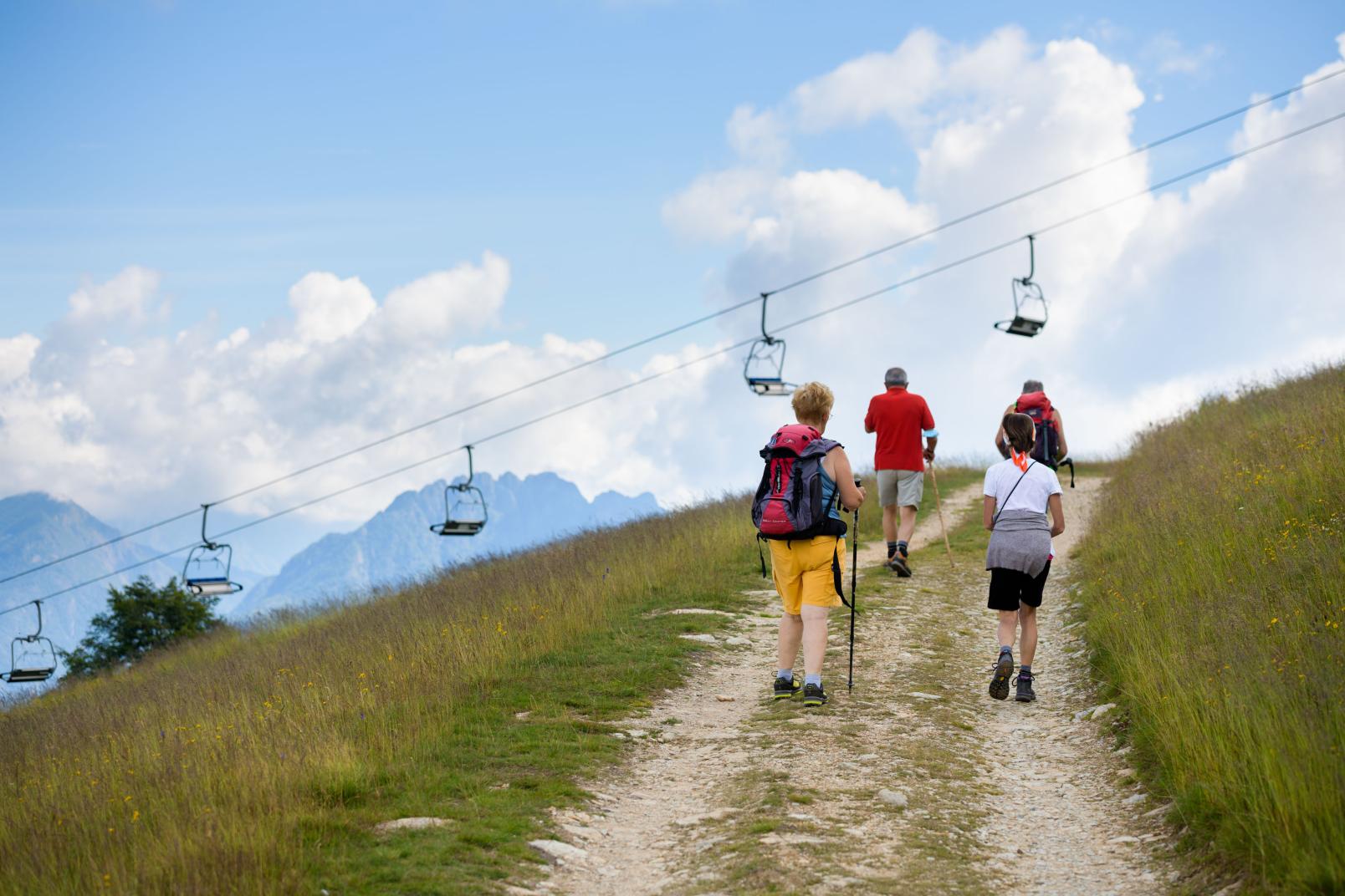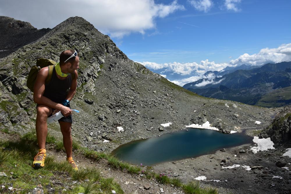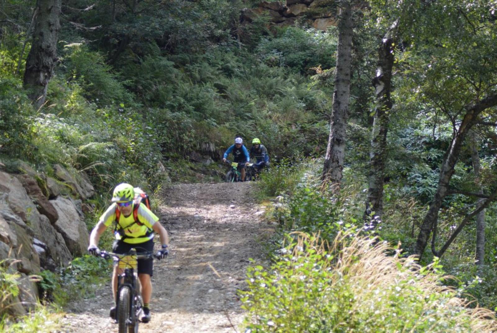
Riding in Alto Piemonte, through the provinces of Vercelli and Biella!
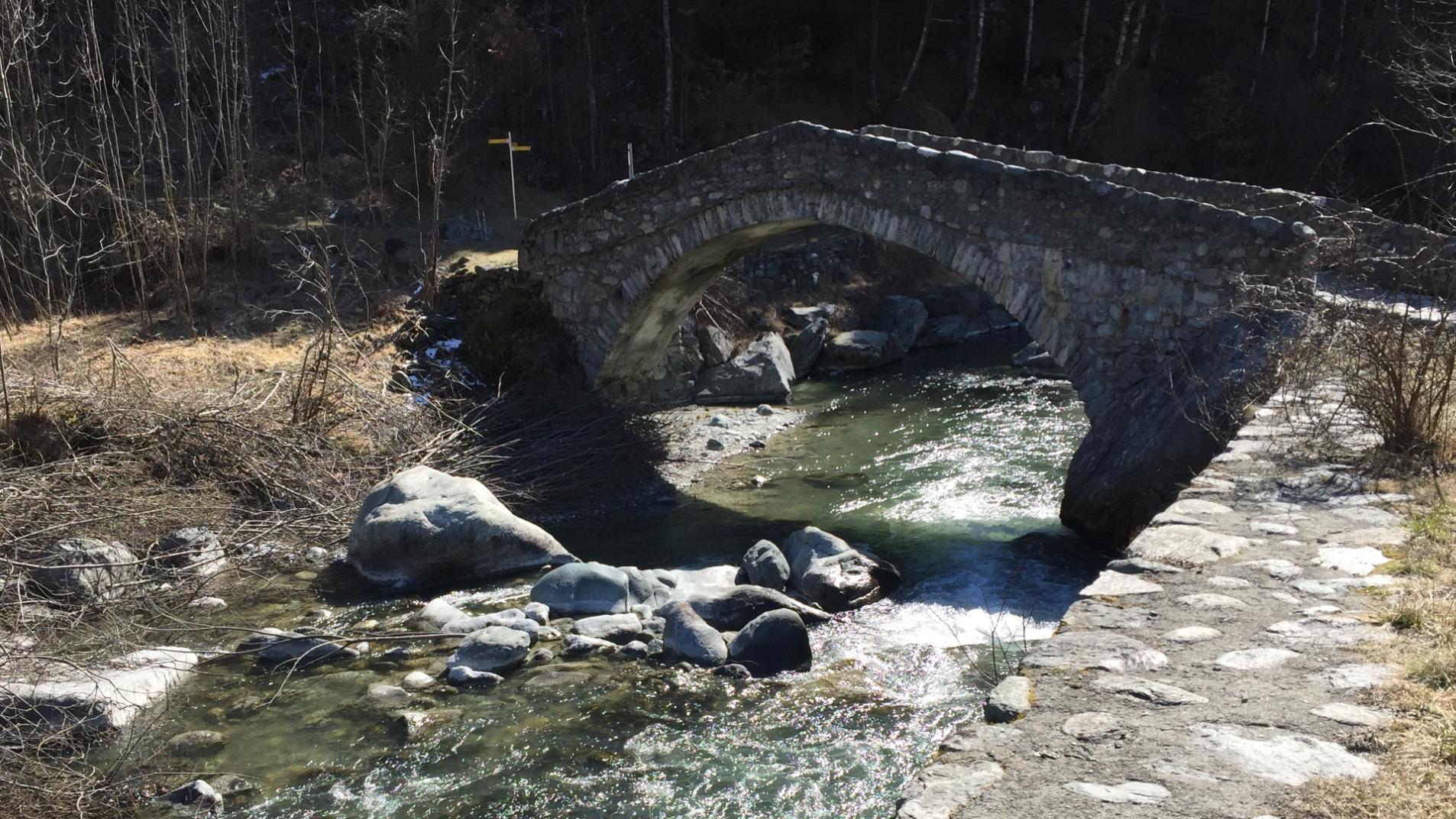
The main characteristic of this path is certainly that of joining at high altitude, two provinces of Piedmont. Traveling along it means exploring Valsesia but also Valsessera, and cycling in one of the most appreciated and well-known parks in the Region, Oasi Zegna. The cycle path is wide and smooth for the entire journey. The duration, apparently not impressive, must be calculated taking into account the way back. If traveled in the saddle, you have to double the indicated km and hours.
Departure: Mera Chairlift
Arrival: Bielmonte
Length: Km. 20.1
Difference in height: uphill mt. 767, downhill mt. 731
Duration: 3.5/4 hours
Physical difficulty: medium
Technical difficulty: easy
E-Bike charging stations: Bielmonte – Mera
Period: spring, summer, autumn
Parking: Piazzale Seggiovie, large and free.
With a pleasant and panoramic journey by chair lift, you’ll reach Mera. From here the carriage road will guide you down for about 2 km. until you see the crossroads for Bocchetta della Boscarola. Follow the yellow sign with the stylized figure of a cyclist and the number 3 on a red field.
An easy dirt road leads to Colle della Boscarola, at 1.423 meters of altitude, with a slight ascent about 2.5 km long. It follows a downhill stretch, up to Dolca, and then an alternation of ascents and descents 10 km long, up to the Fisherman’s House. From this point the ascent starts again, for about 5 km, until the arrival in Bielmonte through the Bocchetto Sessera.
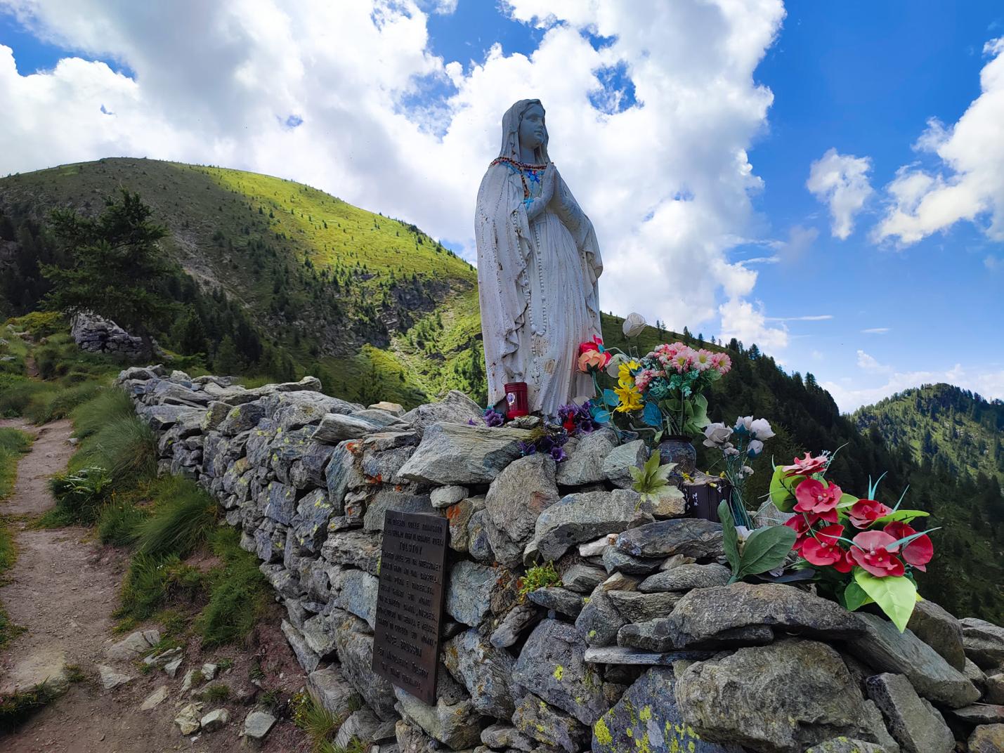
The itinerary mainly develops within the Zegna Oasis in the Alta Valsessera Regional Forest.
Which bike to choose?
Definitely a Mountain Bike or an E-MTB, and if you need to rent it, you can do it in Varallo, Scopa, Mollia and Alagna.
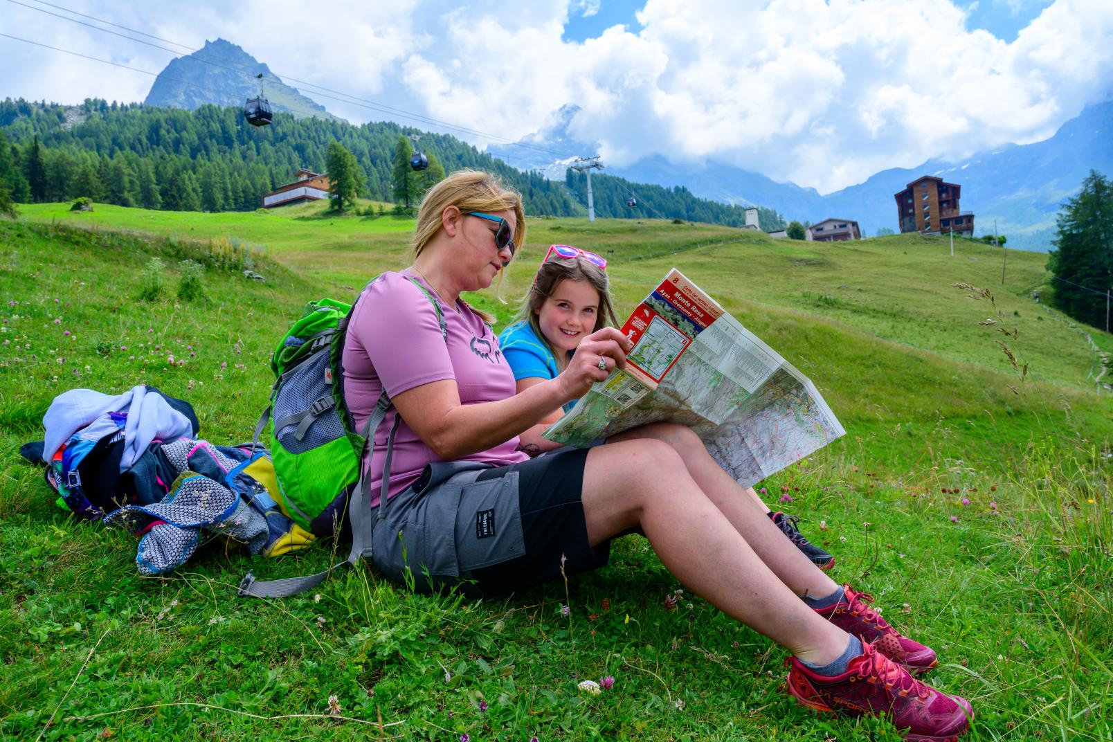
We always advise you to check the conditions of the route before leaving and to request information and a map from the nearest Tourist Office.
See the route, the map and download the GPX track on Outdooractive