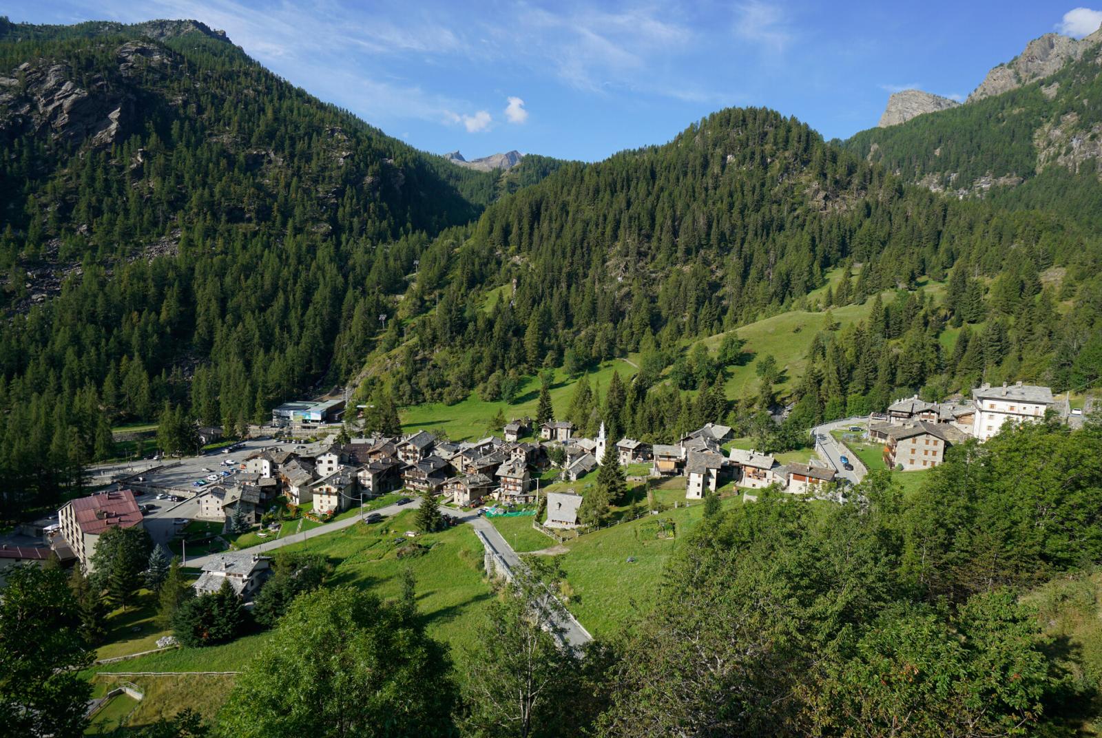
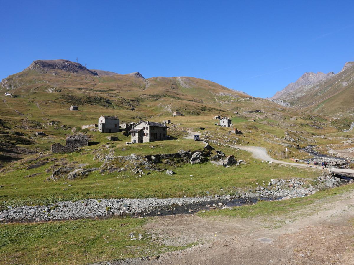
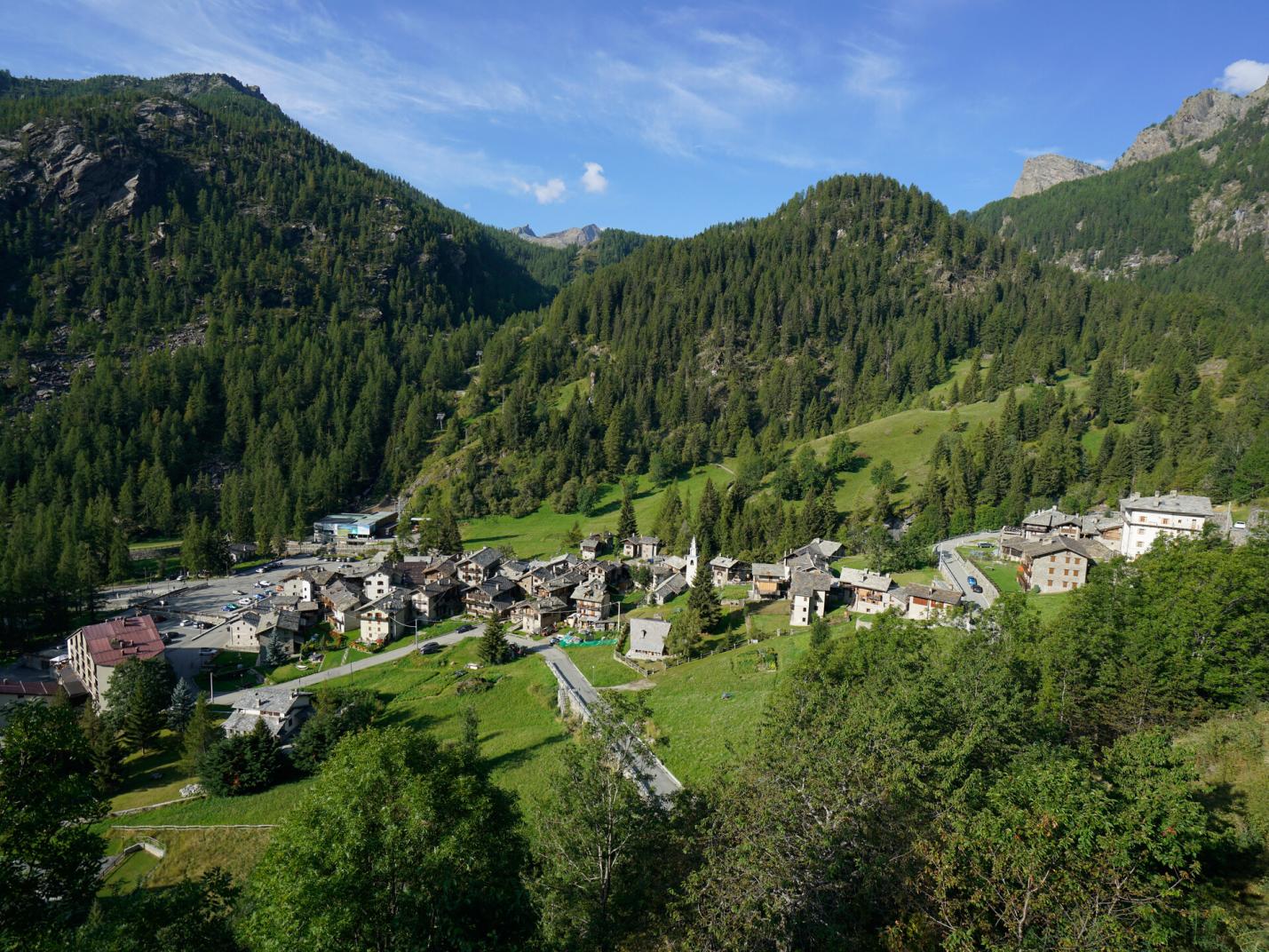
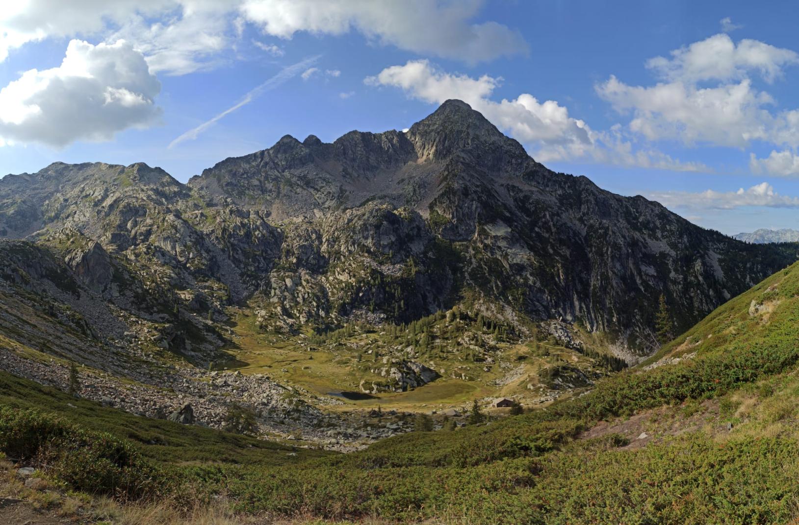
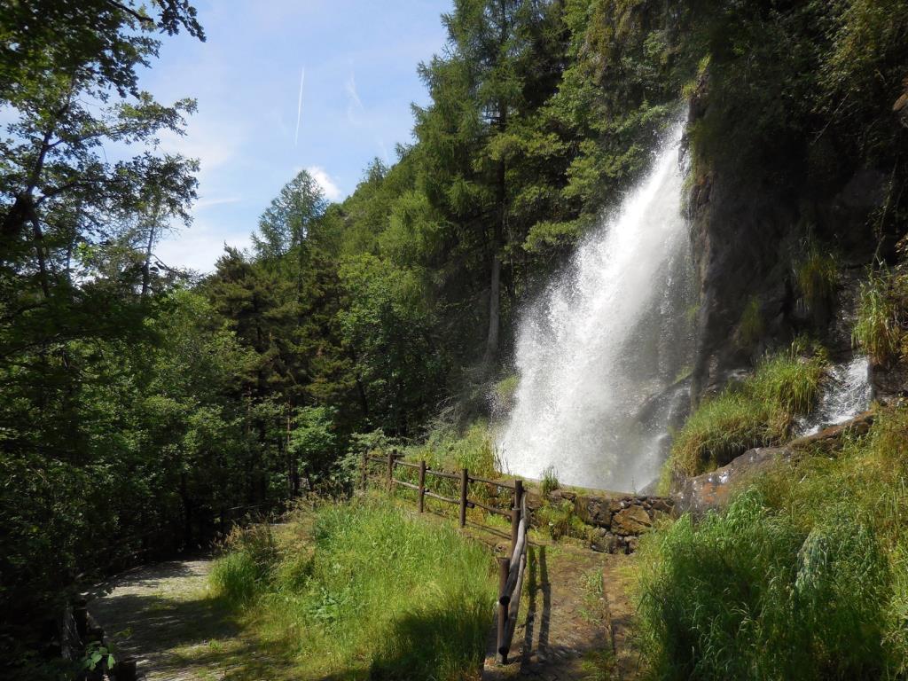
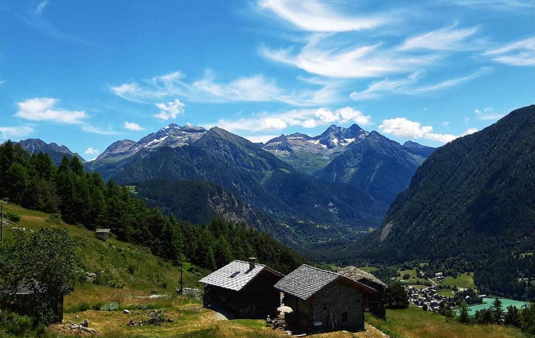
In winter it is the resort from which the 22 km of ski slopes wind down; in summer it transforms into a wide expanse of verdant meadows in which to spend a few hours in the splendor of nature. Easy to reach with a walk along the royal road, a the thrilling descent by taking High Route No. 2 along an entirely stepped path through forests and waterfalls.
Valle di Champorcher
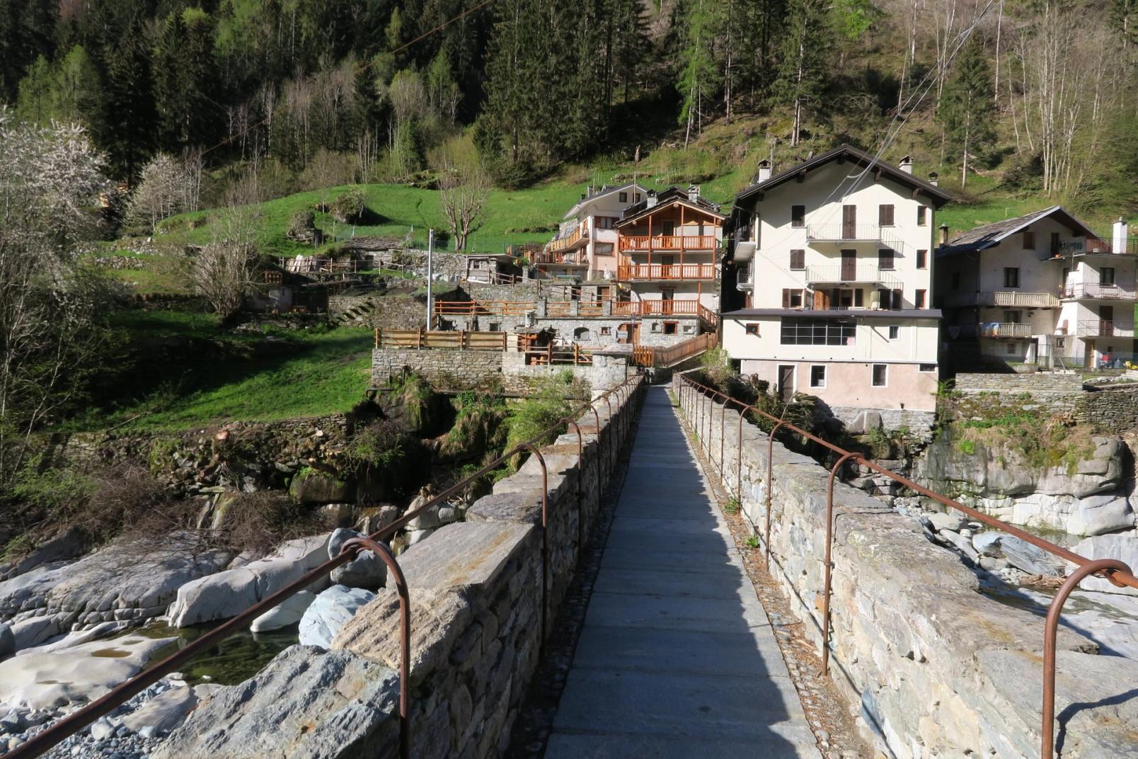
Champorcher
Champorcher – Laris
By: Visit Champorcher
Route category: Walk