Valle di Champorcher

Champorcher

Mont Glacier

By: Visit Champorcher

Route category: Trekking

Duration: 10 hours

Length: 27000 m

Difficulty: High

Mont Glacier

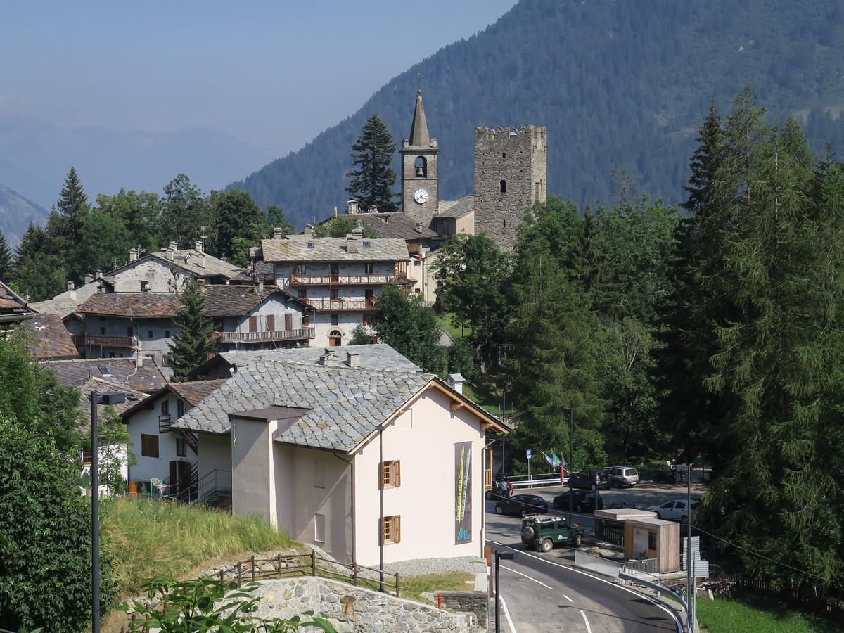
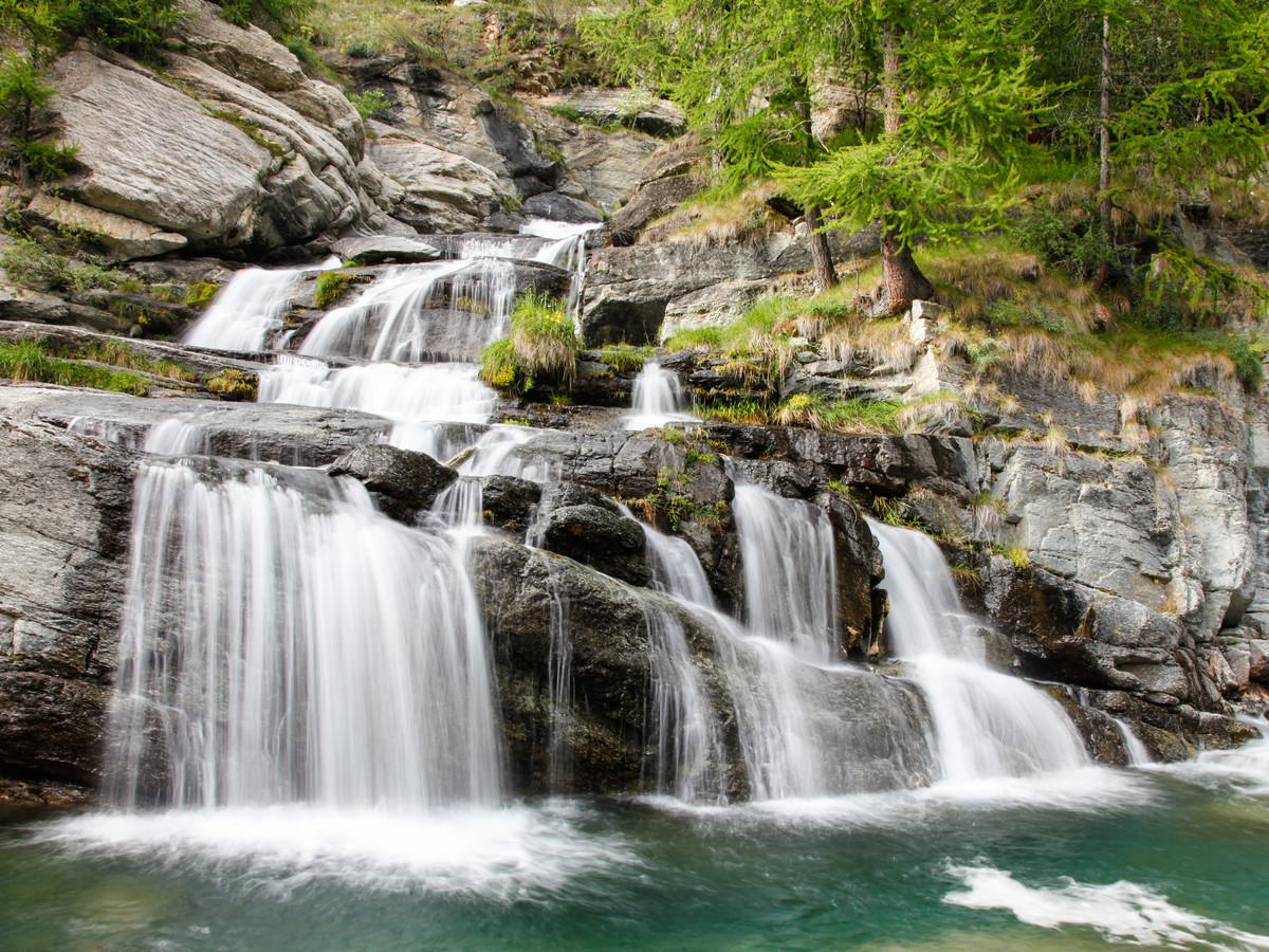
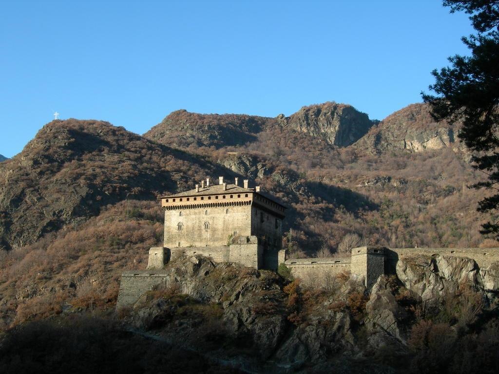
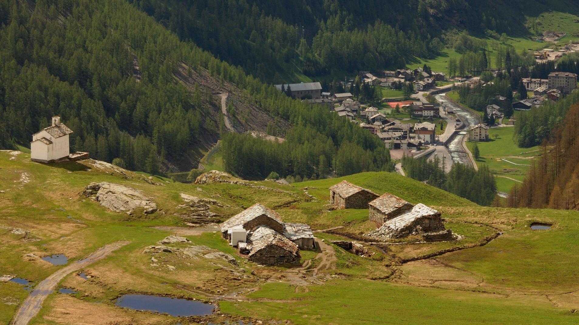
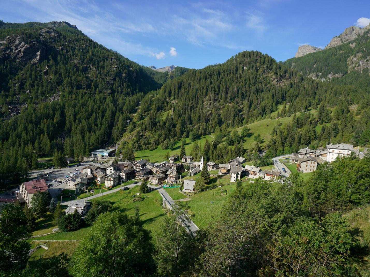
This long and scenic loop, straddling the Champorcher and Champdepraz valleys, allows you to traverse a significant portion of the Mont Avic Natural Park. This route takes place in a unique environment, characterized by its natural and scenic beauty, featuring panoramic peaks, a myriad of crystal-clear lakes, ancient forests, wetlands, and alpine pastures.

First Section: Remoran – Mont Glacier (Trails n° 9B, AV2, 8, and 8C)

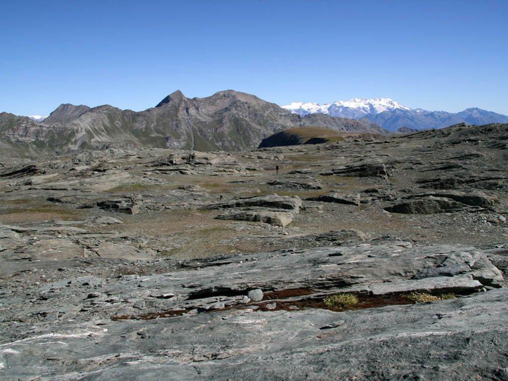
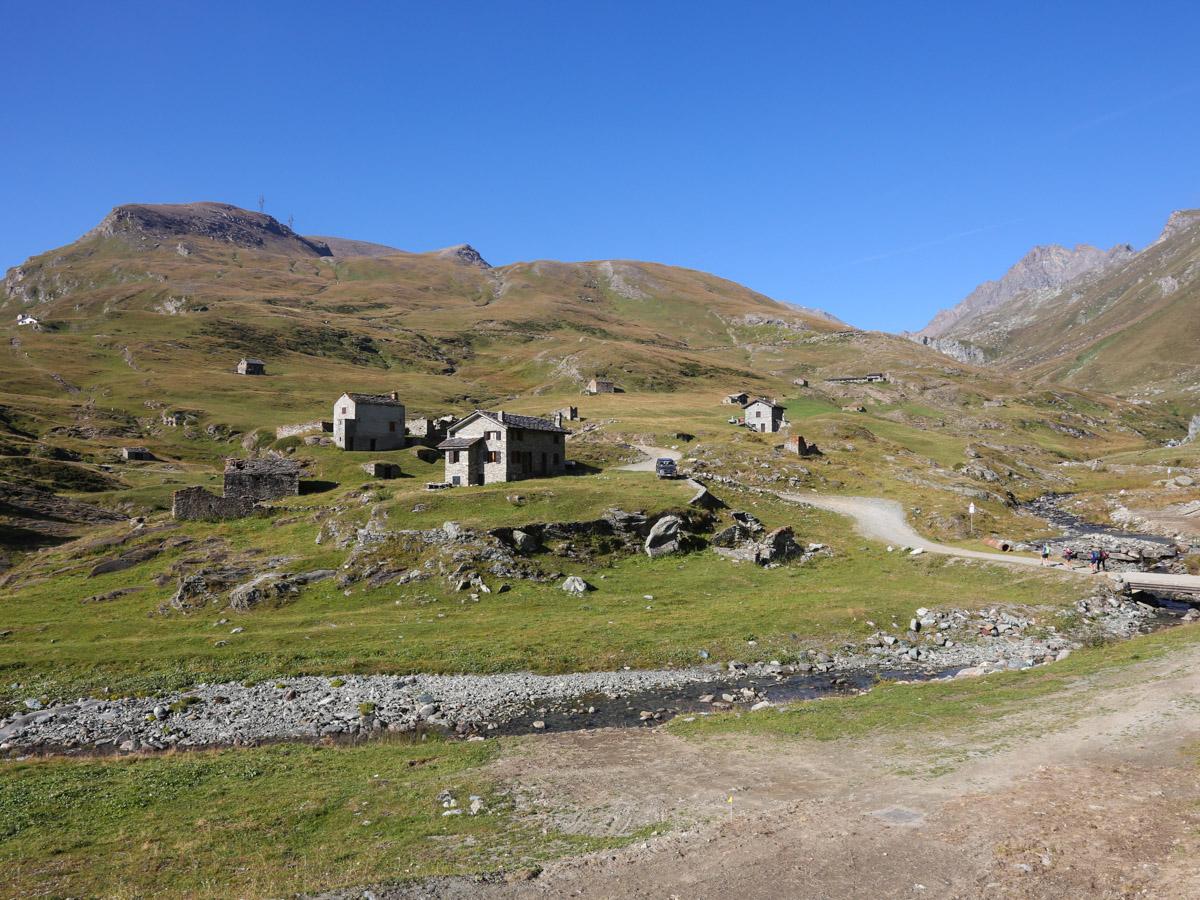
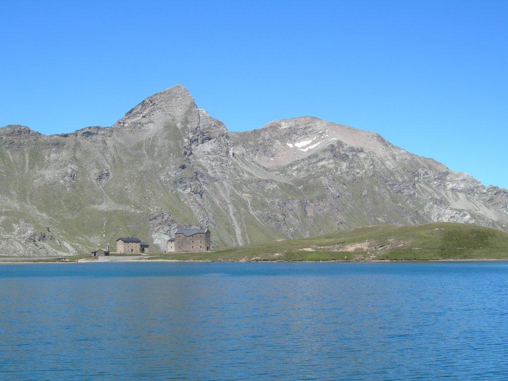
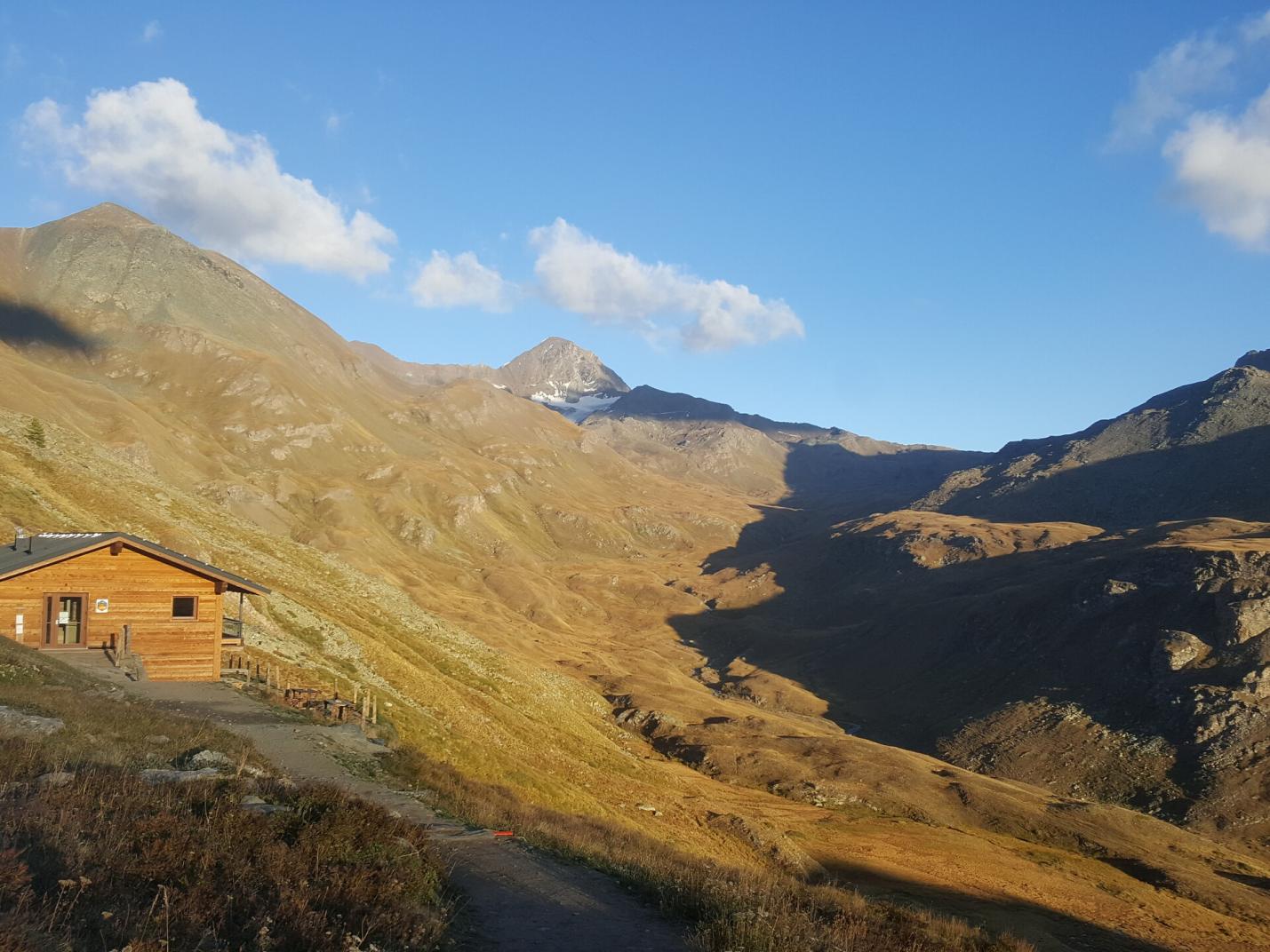
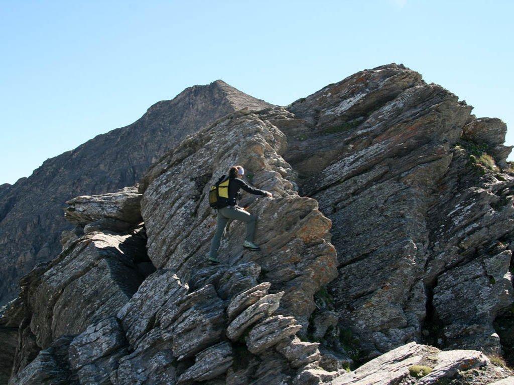
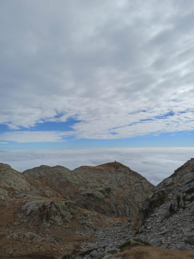
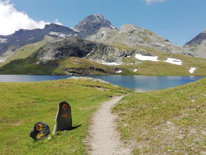
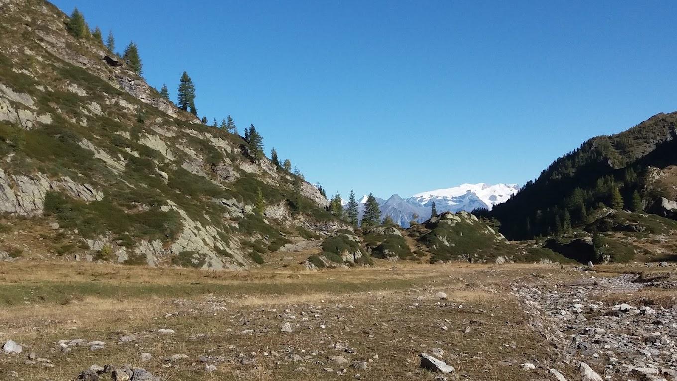
After parking your car, follow the long farm road leading to the Rifugio Dondena, an old hunting lodge of King Vittorio Emanuele II. This first part of the route is easy as it follows a farm road. If you prefer not to walk the entire farm road, you can find Trail n° AV2 a bit downstream that traverses the valley in the same direction, accessible near the Champlong alpine pastures with a short descent of about a hundred meters on a farm road towards the pasture. Upon reaching the Dondena parking area (about 2100 m a.s.l.), cross the Ayasse stream to reach the right bank and continue up to the Rifugio Dondena via the farm road (2185 m a.s.l.). From here, continue along the old royal hunting road to Pian dell’Enseta (about 2327 m a.s.l.). Leave the farm road and take the right fork (Trail n° 8) that leads you, via a bridge, to the left bank of the Ayasse stream. Follow the trail until you reach another junction at around 2450 m a.s.l. Take the right Trail n° 8C towards Mont Glacier/Col Fussy. Ascend the steep grassy slope to reach Col Fussy (2910 m a.s.l.), passing above Lake Gelato. Upon reaching Col Fussy, follow the right fork that crosses a scree slope, climbing diagonally to the Mont Glacier ridge until you reach the summit, where you can enjoy an incredible view of the entire Aosta Valley.

Second Section: Mont Glacier – Col d’Etselé – Col Medzove (Trails n° 8C, 5A, 102/4A, and 102/4)

Descend from Mont Glacier to Col Fussy via the same trail used for the ascent. From Col Fussy, descend towards Fénis, finding Trail n° 5A, which traverses the slope leading to Col d’Etselé (2807 m a.s.l.). To reach Col d’Etselé, avoid Trails n° 5C and the descent towards Fénis and follow the main trail, which alternates between mule track and ridge. From Col d’Etselé, take Trail n° 102/4A, which descends sharply towards Lake Medzove (2372 m a.s.l.). Bypass the lake on the left and find Trail n° 102/4, which gently ascends through the valley towards Col Medzove (2613 m a.s.l.). The climb to the col is gentle, crossing alpine pastures and alternating scree or rocky areas with meadows. From here, enter the Mont Avic Natural Park.

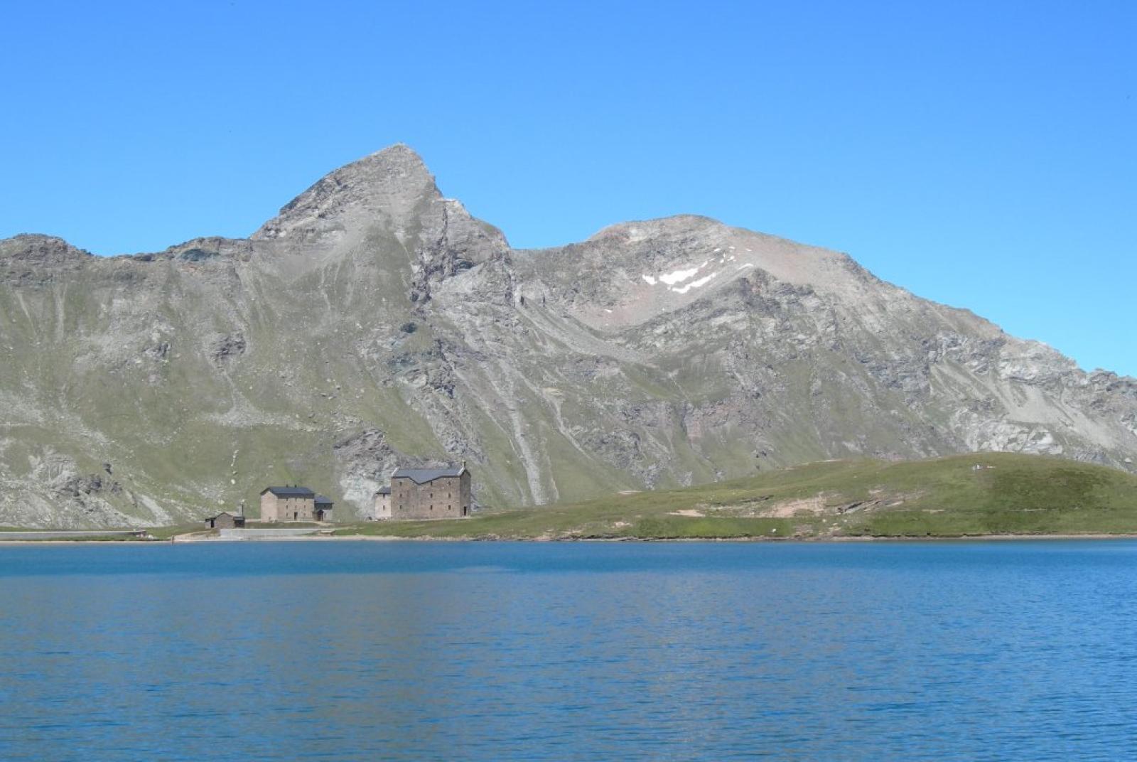
Fourth Section: Col Medzove – Rifugio Barbustel – Remoran (Trails n° 102/5C, 5, and 10)

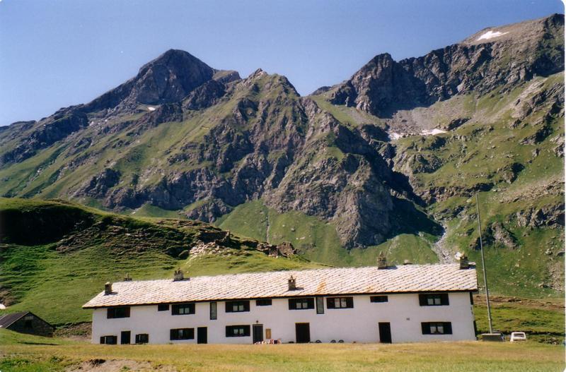
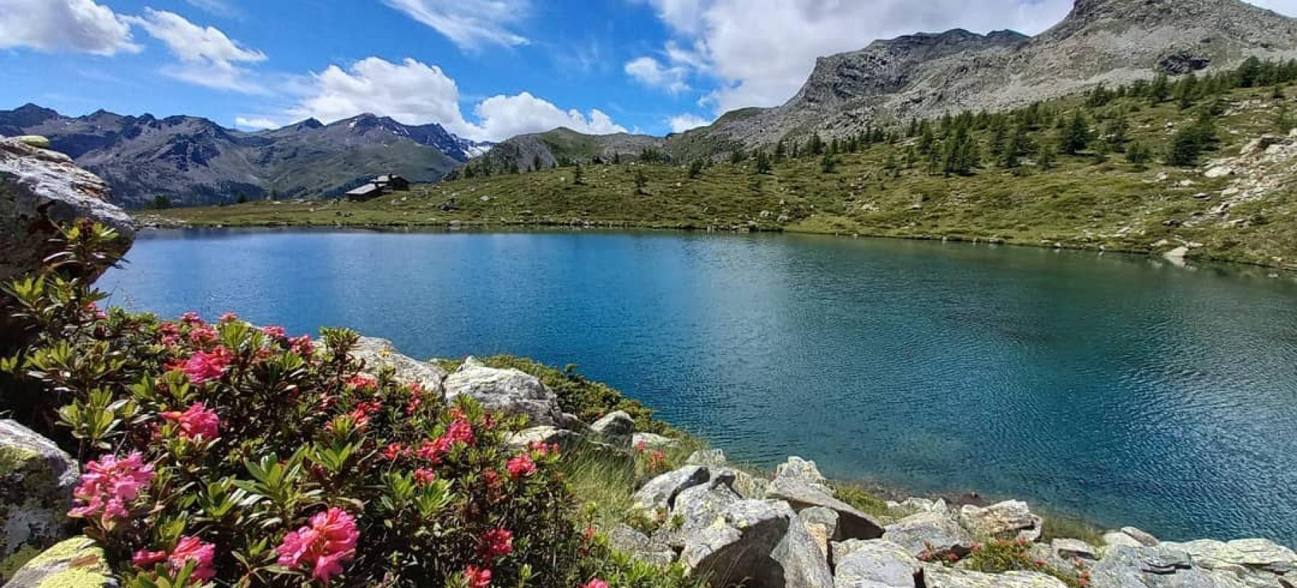
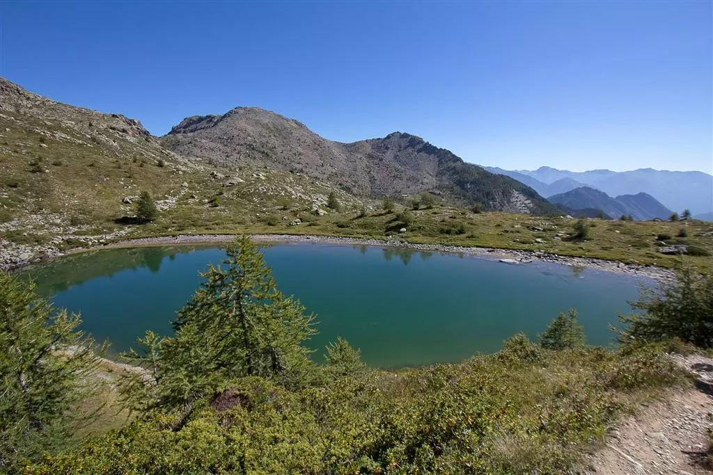
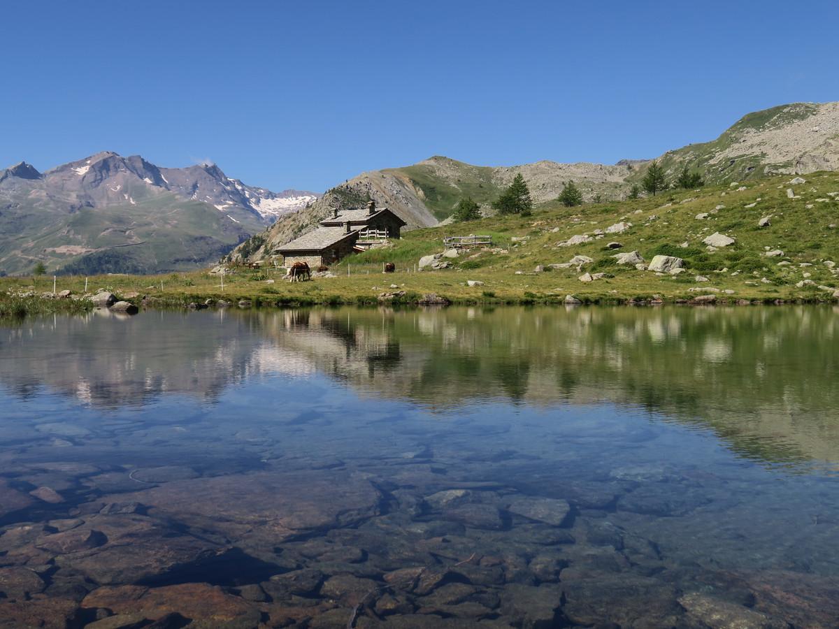
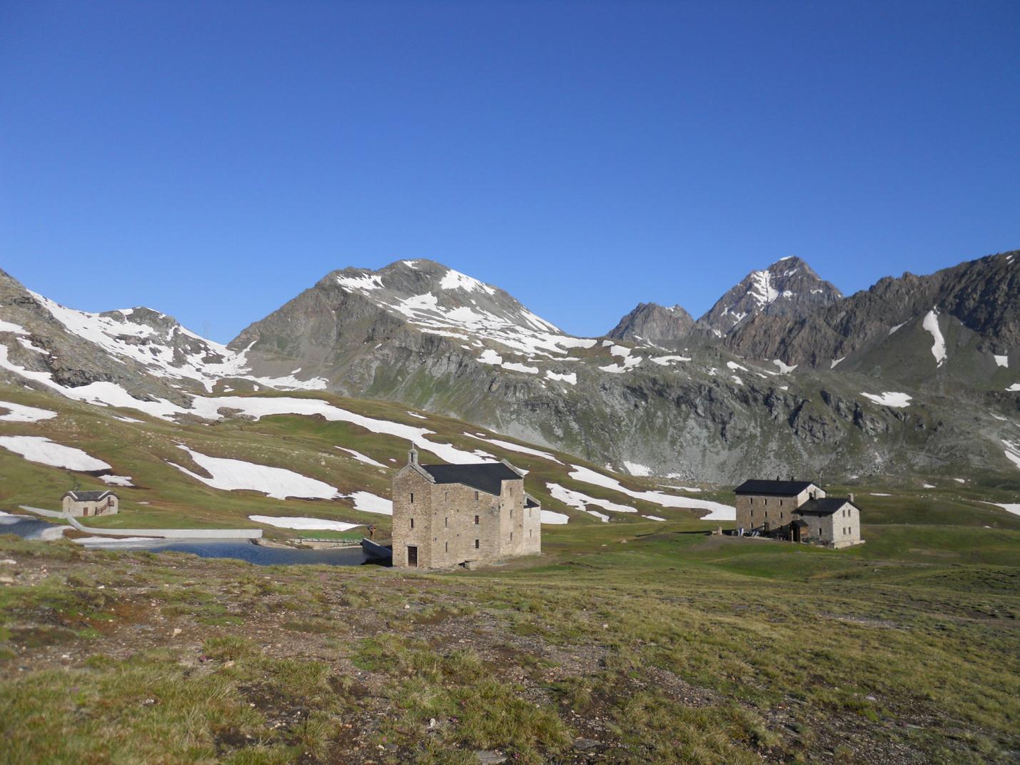
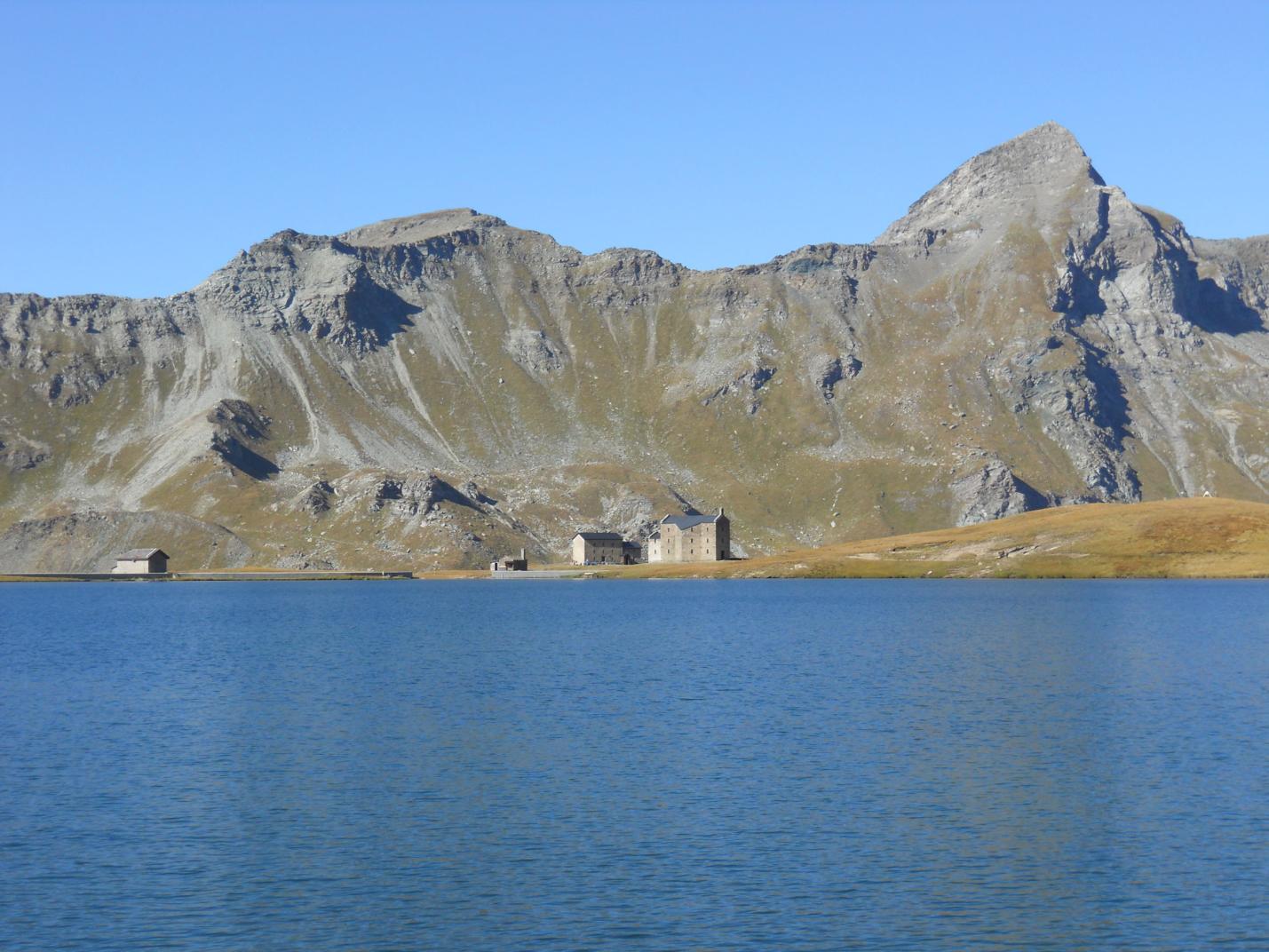
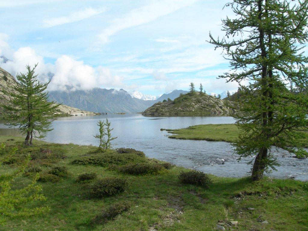
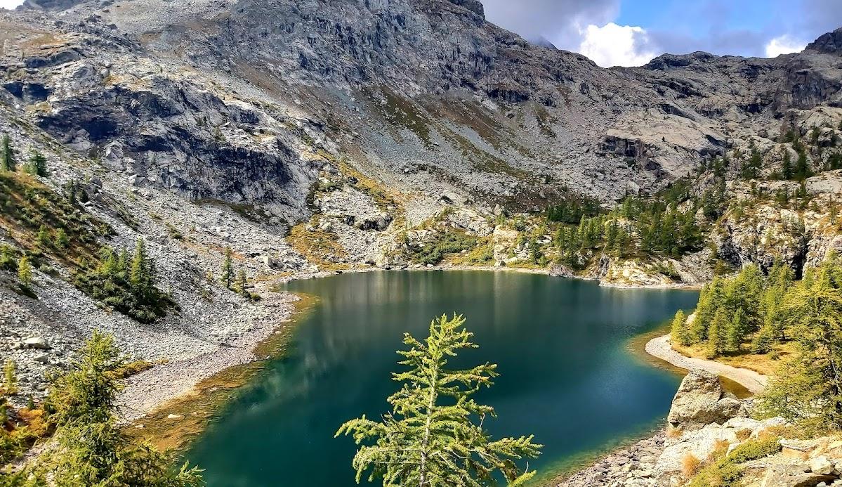
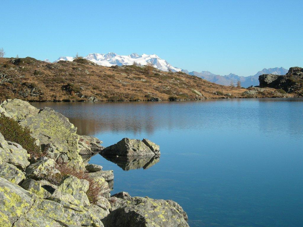
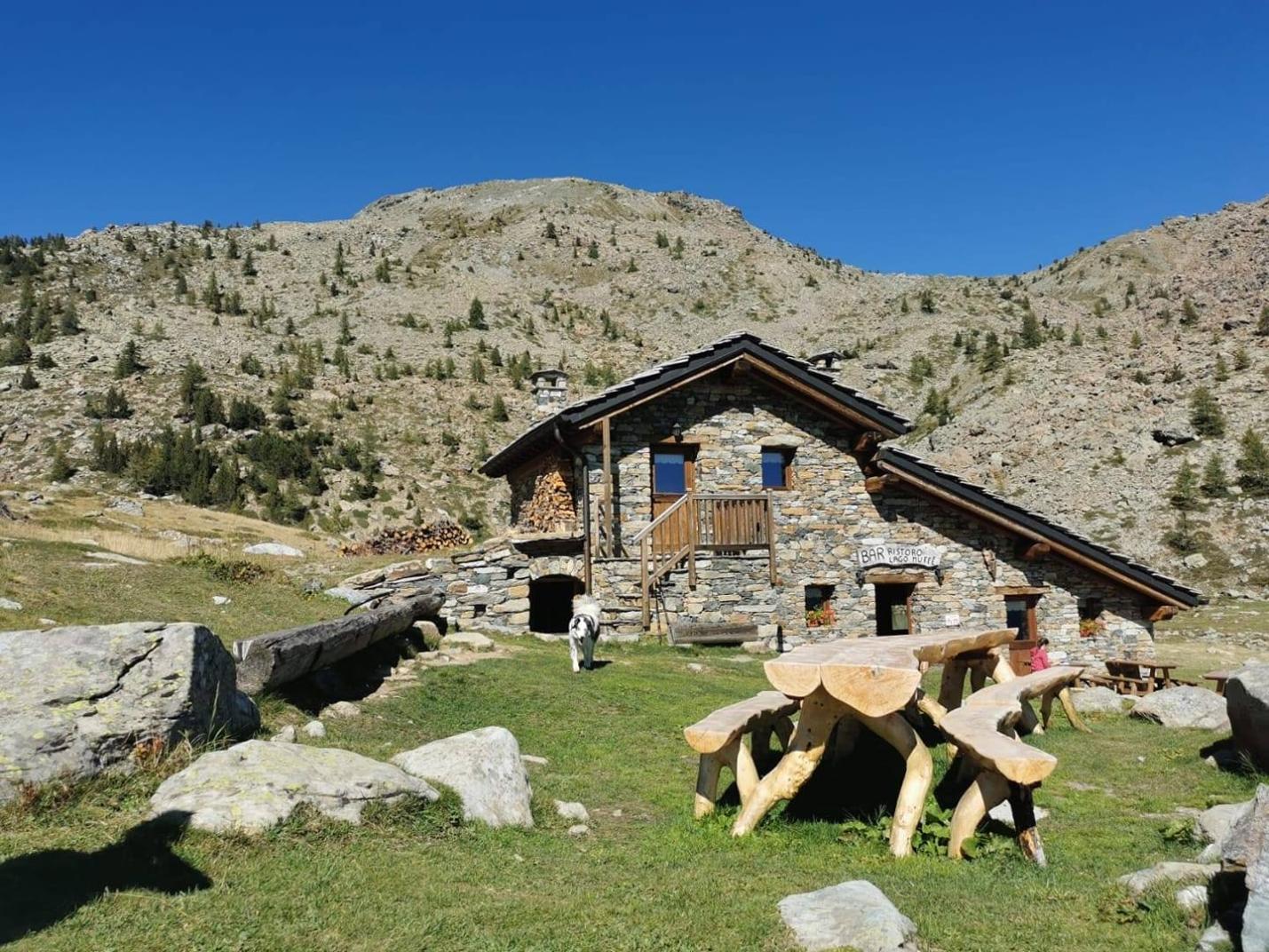
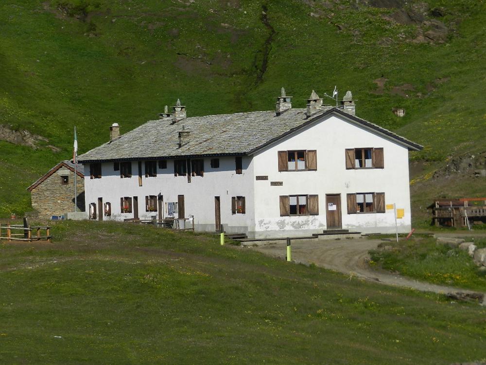
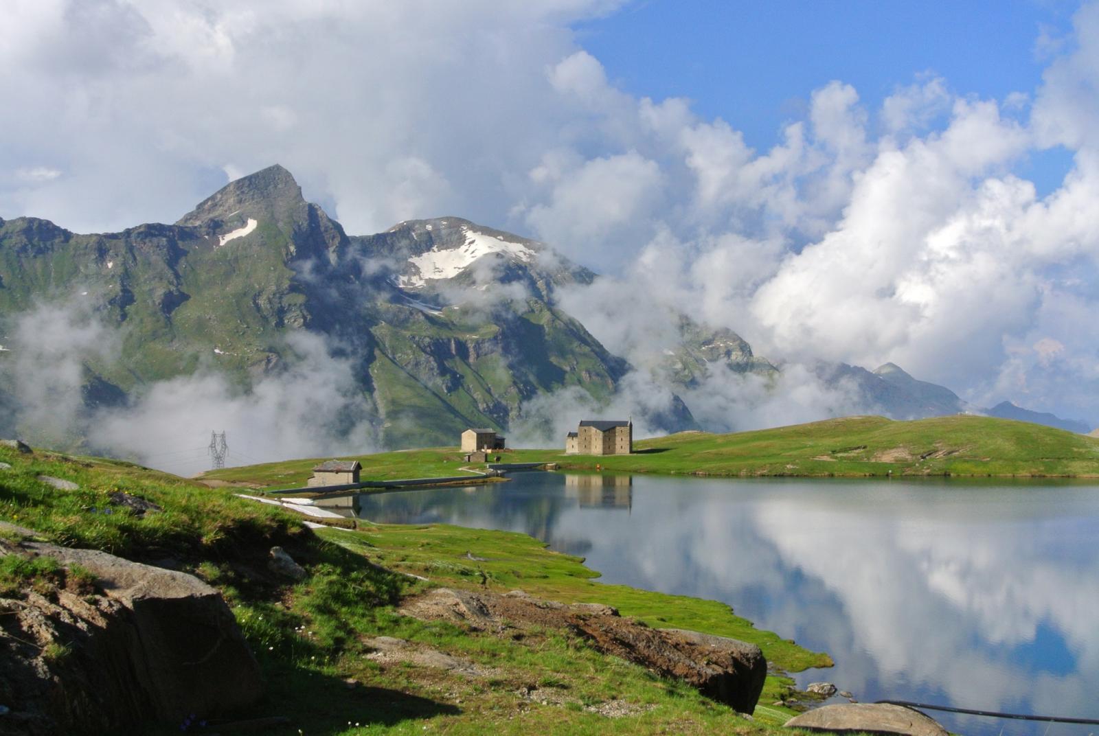
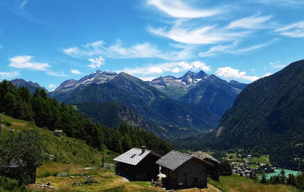
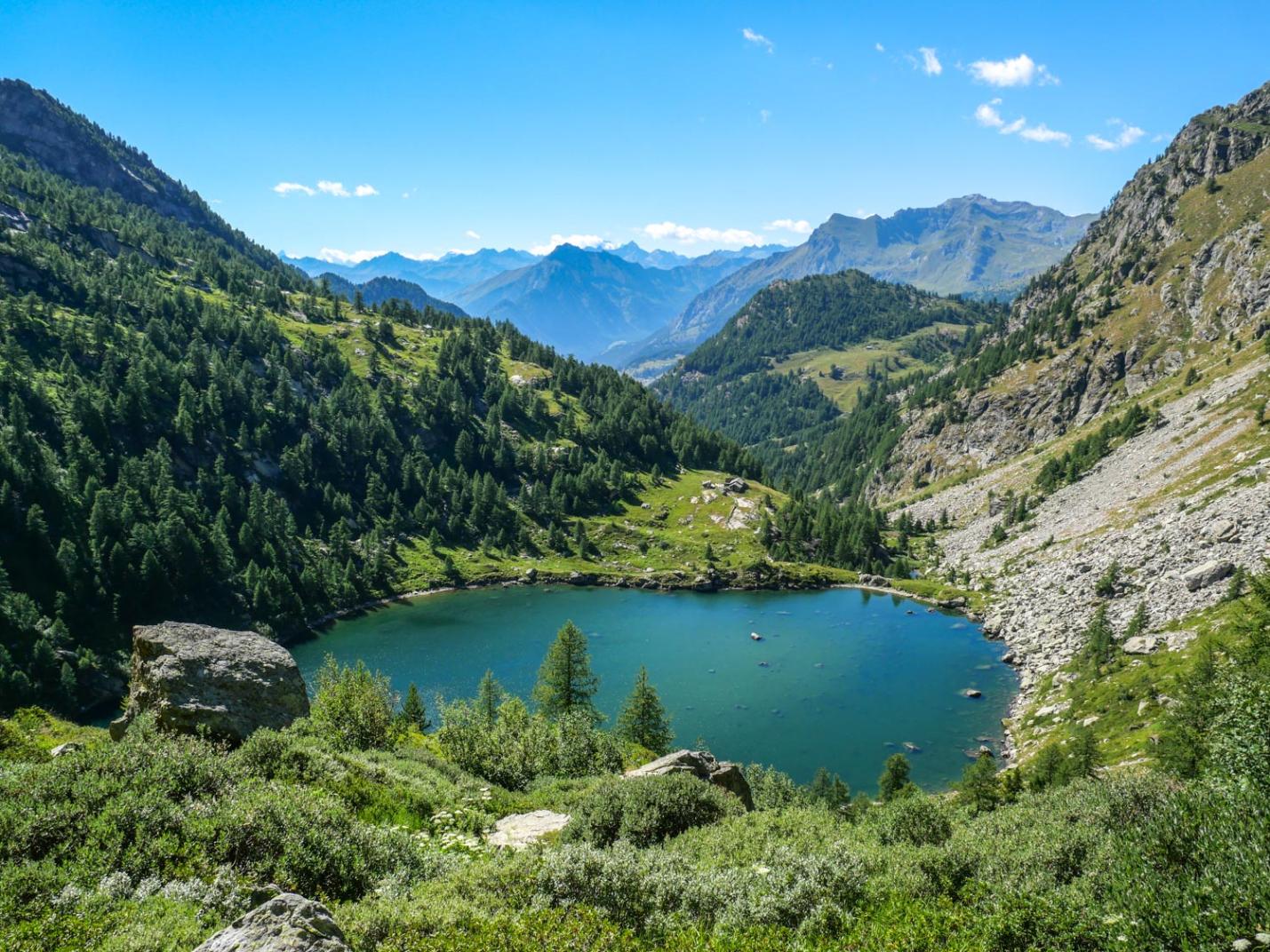
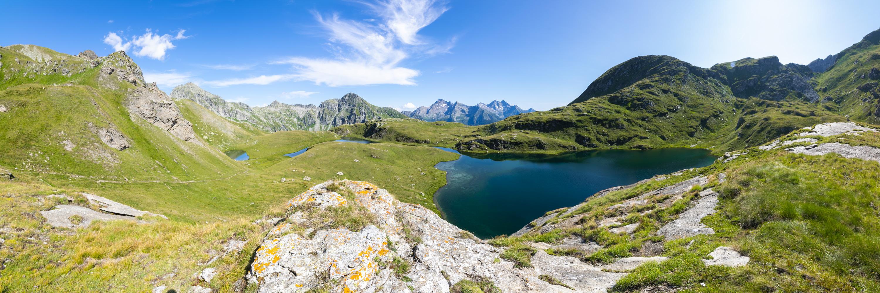
From Col Medzove, descend to Rifugio Barbustel via Trail n° 102/5C. This section is particularly scenic as it traverses the Mont Avic Natural Park, with its beautiful lakes and watercourses. From the col, continue gently downhill near wetlands until reaching the forest cabin, then cross the entire northern shore of the Gran Lago (2485 m a.s.l.). Continue descending until reaching the ruins of the Pesone pastures (2307 m a.s.l.). Traverse the grassy area of the pasture and continue downhill through the valley until reaching the area above Lake Cornuto/Cornu and Lake Nero/Noir (both on your right). The trail continues descending until you cross a stream, upstream from Lake Bianco. After crossing the stream, ascend to Rifugio Barbustel (2200 m a.s.l.). From Rifugio Barbustel, find the trail that ascends to Col du Lac Blanc (2309 m a.s.l.). Continue along Trail n° 10 to reach the Remoran parking area, passing near Lake Muffé and the Bar ristoro del Lago Muffé.

Technical Notes:

The route is recommended for experienced hikers. It is not suitable for families.

Variants:

  • Mont Glacier (Round-trip from Rifugio Dondena parking area, at 2100 m a.s.l.)
    • Trails: AV2 – 8 – 8C
    • Elevation Gain: 1115 m
    • Distance: 8 km (one way)
    • Ascent Time: 3h30-4h
    • Descent Time: 2h20-2h50
    • Difficulty: E/EE
  • Mont Glacier and descent to Fénis (Starting from Rifugio Dondena parking area, descending to Fénis, through Col Fussy and Col d’Etselé)
    • Trails: AV2 – 8 – 8C - 5A – 102/5A - 5
    • Elevation Gain: 1800 m
    • Distance: 21 km
    • Total Time: 7h-9h (highly variable based on fitness levels)
    • Difficulty: E/EE
  • Leave the car at the Dondena parking area (2100 m a.s.l.). Follow the loop as described, but return via Trail n° 9C (Via Alpina) from Lake Muffé to the Dondena parking area (passing through the Raty area). This variant makes the hike slightly more challenging and longer.
    • Trails: AV2 – 8 – 8C - 5A - 102/4A - 102/4 – 102/5C – 5 – 10 – 9C
    • Elevation Gain: 2000 m
    • Distance: 27 km
    • Total Time: 9h – 11h (highly variable based on fitness levels)

Details of the tour

Properties

Typology: Trekking

Difficulty: High

Ascent: 1900 m

Duration: 10 hours

Distance: 27000 m

Where

Start point
Remoran 1765 m s.l.m.

Get me there

Mobility

leave the car in the parking spaces located near the start of the path to the Barbustel Refuge or in the large square just above Mont Blanc

Destination
Remoran 1765 m s.l.m.

Find nearby

Santuario del Miserin

2.55km

Valle di Champorcher

Culture

Miserin Lake Virgin Mary

Miserin, 11020 Champorcher AO

Ecomuseo della Canapa

4.56km

Valle di Champorcher

Culture

Hemp eco-museum

Località Chardonney , 11020 Champorcher AO

Champorcher

5.62km

Valle di Champorcher

Culture

Medieval tower and parish church

Champorcher, 11020 Champorcher AO

Cappella del gom

10.85km

Valle di Champorcher

Culture

Chapel of Gom

Cappella del Gom, 11020 Pont-Bozet AO

Bookshop

15.02km

Val d'Ayas

Culture

Bookshop of Fort of Bard

Altitude: 384 m

Via Vittorio Emanuele II, 11020 Bard AO

Forte di Bard

15.02km

Val d'Ayas

Culture

Fort of Bard

Altitude: 384 m

Via Vittorio Emanuele II, 11020 Bard AO

Monterosa Ski

35.37km

Active

Monterosa SpA

Altitude: 1820 m

Loc. Staffal, 17, 11020 Gressoney-La-Trinité AO

Fiabe nel Bosco a Champorcher

4.61km

Valle di Champorcher

Culture

Fiabe nel Bosco a Champorcher

from 8 August to 10 August

Fiabe nel Bosco a Champorcher

4.61km

Valle di Champorcher

Culture

Fiabe nel Bosco a Champorcher

from 15 August to 17 August

The best of cycling 2023

15.02km

Valle di Champorcher

Culture

The best of cycling 2023

from 1 May to 14 September

Marché au Fort  Marché au Fort - Food and wine event

15.06km

Valle di Champorcher

Culture

Marché au Fort - Food and wine event

from 11 October to 12 October

Dondena

Walk

0.00km

Valle di Champorcher

Active

Lake Giasset

Dondena

Walk

0.00km

Valle di Champorcher

Active

Laris Dondena

Rosa dei banchi

Alpinism

0.01km

Valle di Champorcher

Active

Rosa dei Banchi

Duration: 10 hours

Length: 20000 m

Difficulty: High

Dondena

Walk

0.01km

Valle di Champorcher

Active

Dondena – Pian de Roche

Lago Muffè

Trekking

0.35km

Valle di Champorcher

Active

Muffé Lake, Raty/Raté Lake and other lakes - Medium Version

Duration: 4 hours 30 minutes

Length: 11700 m

Difficulty: Medium

Lago

Trekking

0.37km

Valle di Champorcher

Active

Lake Muffé, Lake Raty/Raté and other lakes

Percorso facile

Duration: 3 hours 30 minutes

Length: 8100 m

Difficulty: Medium

Champorcher

Trekking

0.40km

Valle di Champorcher

Active

Between Champorcher and Gimillan

Duration: 10 hours

Length: 23000 m

Difficulty: High

Lillaz

Trekking

0.47km

Valle di Champorcher

Active

Between Champorcher and Lillaz

Length: 20000 m

Difficulty: Medium

Lago Muffè

Trekking

0.58km

Valle di Champorcher

Active

Muffé Lake, Raty/Raté Lake and other lakes - Easy Version

Length: 8100 m

Difficulty: Medium

Mont Glacier

Trekking

2.44km

Valle di Champorcher

Active

Montglacier

Tersiva

Alpinism

2.55km

Valle di Champorcher

Adrenaline

Tersiva

Lago Miserin

Trekking

2.70km

Valle di Champorcher

Active

Alta via n2

Lago Miserin

Walk

2.71km

Valle di Champorcher

Active

Miserin

Lago

Trekking

3.35km

Valle di Champorcher

Active

Anello Gran Lago

Lago vercoche

Trekking

3.72km

Valle di Champorcher

Active

Laris Lake Vercoche Loop

Rosa dei banchi

Alpinism

4.02km

Valle di Champorcher

Adrenaline

Rosa dei Banchi

Lago Cornuto

Trekking

4.28km

Valle di Champorcher

Active

Horned Lake

Lago vercoche

Trekking

4.50km

Valle di Champorcher

Active

Lake Vercoche

Duration: 5 hours 30 minutes

Length: 14500 m

Difficulty: Medium

Champdepraz

Trekking

4.60km

Valle di Champorcher

Active

Between Champorcher and Champdepraz

Duration: 5 hours

Length: 10400 m

Difficulty: Medium

Rifugio barbustel

Trekking

4.60km

Valle di Champorcher

Active

Refuge Barbustel

Duration: 2 hours 30 minutes

Length: 3400 m

Difficulty: Medium

Sabolo e-bike rent

4.50km

Valle di Champorcher

Ski

SABOLO MOUTAIN SHOP

e-bike e ski rent

Fraz Chardonney, 120/c, 11020 Champorcher AO

Minimarket Gabry Champorcher

4.50km

Valle di Champorcher

In town

MINIMARKET GABRY

Frazione Chardonney, 120, 11020 champorcher AO

Trottola

4.51km

Valle di Champorcher

Culture

La Trottola Champorcher

Frazione Chardonney 120 B, 11020 Champorcher AO

Champorcher Pharmacy

5.49km

Valle di Champorcher

Wellness

CHAMPORCHER PHARMACY

Frazione Vignat n° 24, 11020 champorcher AO

5.59km

Valle di Champorcher

In town

BUTCHER’S SHOP DE ROSSO ISIDORO

loc. Chateau 9, 11020 Champorcher AO

Birrificio

5.62km

Valle di Champorcher

Food

Birrificio Champorcher

Champorcher, 11020 Champorcher AO

6.73km

Valle di Champorcher

Food

MINIMARKET DANNA

Frazione Mellier 75, 11020 Champorcher AO

Negozio

27.74km

Valle di Champorcher

Wellness

AZIENDA AGRICOLA MONTIFLOR L’ERBA DEL VICINO

FRAZIONE Chardoney, 38, 11020 Champorcher AO

Ski man – bar restaurant

4.43km

Valle di Champorcher

Ski man – bar restaurant

Loc. Chardonney 88, 11020 Champorcher AO

4.50km

Valle di Champorcher

Bistrot De l’Abbe

Frazione Chardonney 120/A, 11020 Champorcher AO

Bar ristoro lago muffe

5.07km

Valle di Champorcher

BAR RISTORO LAGO MUFFE’

Lago Muffe, 11020 champorcher AO

Bar

5.14km

Valle di Champorcher

Bar Le Foyer du Fond Champorcher

località Le Vignat 18, 11020 Champorcher AO

le relais des reines

6.45km

Valle di Champorcher

RESTAURANT LE RELAIS DES REINES

Frazione Vigneroisa, 8, 11020 Champorcher AO

Restaurant mellier

6.79km

Valle di Champorcher

RESTAURANT BAR MELLIER

frazione mellier 85, 11020 CHAMPORCHER AO

Le Moulin Des Aravis

8.86km

Valle di Champorcher

RESTAURANT LE MOULIN DES ARAVIS

Frazione Savin, 55, 11020 Pontboset AO

Restaurant Chez Isabel

10.41km

Valle di Champorcher

RESTAURANT CHEZ ISABEL

Loc. Pont Bozet 96, 11020 Pontboset AO

Dondena Refuge

0.01km

Valle di Champorcher

DONDENA REFUGE

Località Dondena, 11020 Champorcher AO

Rifugio Miserin

2.56km

Valle di Champorcher

MISERIN REFUGE

Lago Miserin, 11020 Champorcher AO

Revivre Village

4.40km

Valle di Champorcher

REVIVRE VILLAGE | Adults Only

Frazione Ronchas 11, 11020 Champorcher AO

REVIVRE VILLAGE

4.40km

Valle di Champorcher

REVIVRE VILLAGE

Fraz. Ronchas 11, CHAMPORCHER AO

Book now

Maison Nicole

4.47km

Valle di Champorcher

Maison Nicole

fraz. Chardonney 94, 11020 Champorcher AO

4.53km

Valle di Champorcher

HOTEL PETIT PARADIS

fraz. Chardonney, 11020 Champorcher AO

Rifugio barbustel

5.04km

Valle di Champorcher

Rifugio Barbustel

Località Lago Bianco, 11020 Champdepraz AO

ALBERGO CASTELLO DA BONINO

5.59km

Valle di Champorcher

ALBERGO CASTELLO DA BONINO

Loc.Castello, 53, CHAMPORCHER AO

Book now

5.64km

Valle di Champorcher

HOTEL CASTELLO

Località Castello, 53, 11020 Champorcher AO

Relais des reines

6.45km

Valle di Champorcher

FARMHOUSE LE RELAIS DES REINES

Frazione Vigneroisa, 8, 11020 Champorcher AO

Casa Verana

6.59km

Valle di Champorcher

CASA VERANA

fraz. Verana 33, 11020 Champorcher AO

6.60km

Valle di Champorcher

B&B LA BRENVA

Fraz Verana 49, 11020 Champorcher AO

Hotel restaurant Beausejour

6.64km

Valle di Champorcher

Hotel restaurant Beausejour

Frazione Lore' 1, 11020 Champorcher AO

8.56km

Valle di Champorcher

B&B LA BORMA DI POMBO

loc Barmacrepa 4, 11020 Pontboset AO

Le Moulin Des Aravis

8.82km

Valle di Champorcher

LE MOULIN DES ARAVIS

loc. Savin 55, 11020 Pontboset AO

AGRITURISMO LE MOULIN DES ARAVIS

8.88km

Valle di Champorcher

AGRITURISMO LE MOULIN DES ARAVIS

frazione Savin, n. 55, PONTBOSET AO

Book now

Li Tzatagni

10.00km

Valle di Champorcher

LI TZATAGNI

fraz La Chateigne, 11020 Pontboset AO

CHAMBRES D'HOTES LI TZATAGNI

10.02km

Valle di Champorcher

CHAMBRES D'HOTES LI TZATAGNI

fraz. Chateigne, PONTBOSET AO

Book now

HOTEL CHEZ ISABEL

10.41km

Valle di Champorcher

HOTEL CHEZ ISABEL

Fraz. Pont-Bozet, 95, PONTBOSET AO

Book now

Hotel ristorante Chez Isabel

10.42km

Valle di Champorcher

HOTEL CHEZ ISABEL

Loc. Pont Bozet 96, 11020 Pontboset AO

On the same topic

Alpenzu Grande

Walk

Valle di Gressoney

Active

Alpenzu Grande

Trail W

Duration: 1 hour 30 minutes

Difficulty: Low

Castello di Verrès

E-bike

Val d'Ayas

Active

Ciclotour: Saint-Vincent – Col de Joux – Verrès – Saint-Vincent

Duration: 3 hours 4 minutes

Length: 51000 m

Difficulty: Medium

Colle della Barma

Walk

Valle di Gressoney

Active

Fontainemore - Colle della Barma

Path number 2

Duration: 4 hours 40 minutes

Length: 8830 m

Difficulty: Medium

Extrapieraz

Trekking

Val d'Ayas

Active

Brusson - Salomon - Extrepiéraz

Duration: 1 hour 35 minutes

Length: 3995 m

Difficulty: Medium

mountain bike

MTB cross country

Val d'Ayas

Active

Bike Itinerary: Champoluc - Brusson

on the paths of the Monterosa Prestige

Length: 19290 m

Difficulty: Medium

MTB Downhill

Val d'Ayas

Active

Verra Glacier brushed with a finger

Perfect route for those who have never tried ebikes, easy and super scenic. Ascent and descent on the same route.

Duration: 2 hours 30 minutes

Length: 8000 m

Difficulty: Low

Sant'Anna

Walk

Valle di Gressoney

In quota

Gressoney La Trinité - Sant'Anna - Staffal

Trail 9a, 9

Duration: 3 hours

Difficulty: Medium

Dondena

Walk

Valle di Champorcher

Active

Laris Dondena

Lago di frudière

Trekking

Val d'Ayas

Active

Tour Le Otto Montagne: excursion in the wild valley of Graines and the lakes of Frudière

Suggestive circular excursion

Duration: 7 hours

Difficulty: Medium

Champorcher

Trekking

Valle di Champorcher

Active

Grand Tour of the Lower Champorcher Valley

Duration: 10 hours

Length: 14500 m

Difficulty: High

Lago vercoche

Trekking

Valle di Champorcher

Active

Lake Vercoche

Duration: 5 hours 30 minutes

Length: 14500 m

Difficulty: Medium

percorso n 4

E-bike

Valsesia

Active

Cycle path Borgosesia/Guardabosone-Varallo | PCV 4/4a

Duration: 1 hour 50 minutes

Length: 18000 m

Difficulty: Low

Chardonnay

Trekking

Valle di Champorcher

Active

Among woods and centuries-old villages

Duration: 1 hour 15 minutes

Length: 2100 m

Difficulty: Medium

Passeggiata Lys Gressoney St Jean - Gressoney La Trinité

Walk

Valle di Gressoney

Active

Gressoney-Saint-Jean Gressoney-La-Trinité

Trail marker 15

Duration: 2 hours 20 minutes

Difficulty: Low

testa di comagna

Trekking

Val d'Ayas

Active

Col de Joux - Testa di Comagna

trekking with panoramic over the Aosta Valley

Duration: 1 hour 25 minutes

Length: 2021 m

Difficulty: Medium

Estoul

Trekking

Val d'Ayas

Active

Estoul - Colle Ranzola - Punta Regina

Duration: 2 hours

Length: 4379 m

Difficulty: Medium

Val Alleigne

Trekking

Valle di Champorcher

Active

Alleigne Valley – Chilet Lake

Arcésaz

Trekking

Val d'Ayas

Active

Brusson - Arcésaz

Stroll along the canal Ru d'Arlaz

Duration: 1 hour 6 minutes

Length: 3648 m

Difficulty: Low

Pontboset retempio

Trekking

Valle di Champorcher

Active

Shrine of Retempio 2-5 h

Laghi Palasinaz

Trekking

Val d'Ayas

Active

Arp Refuge and Palasinaz lakes

Length: 14500 m

Difficulty: Low