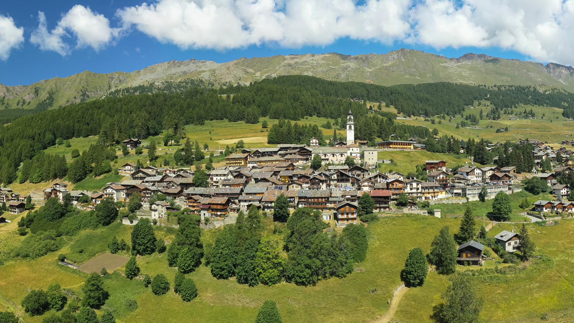
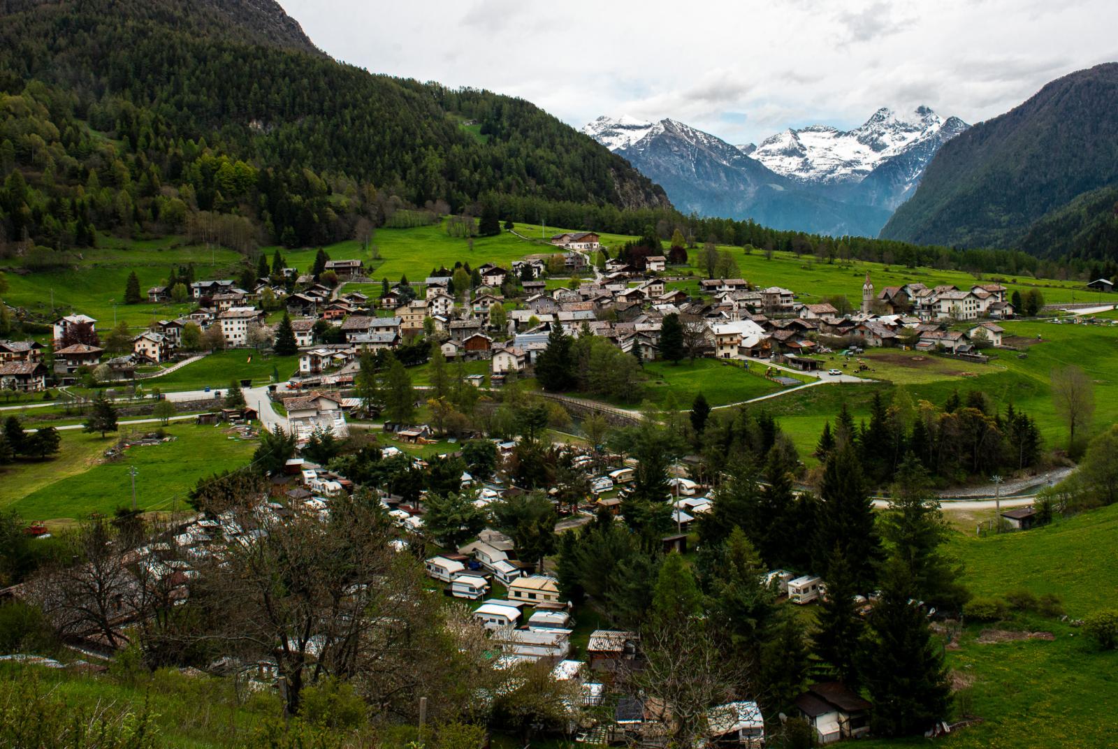
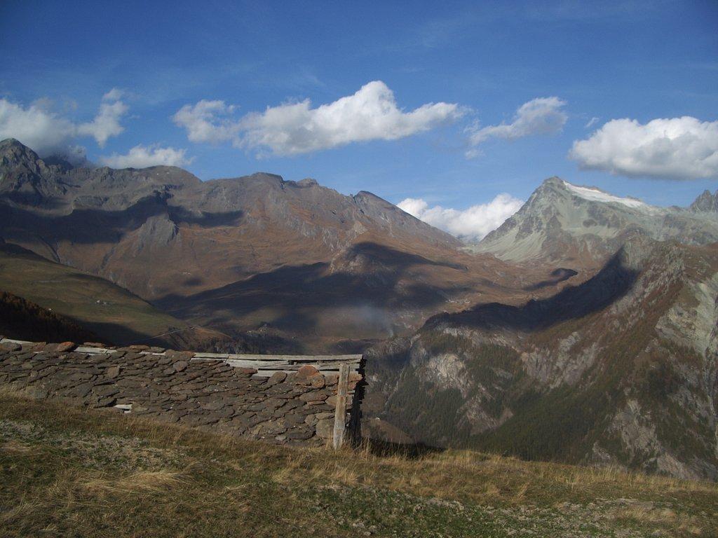
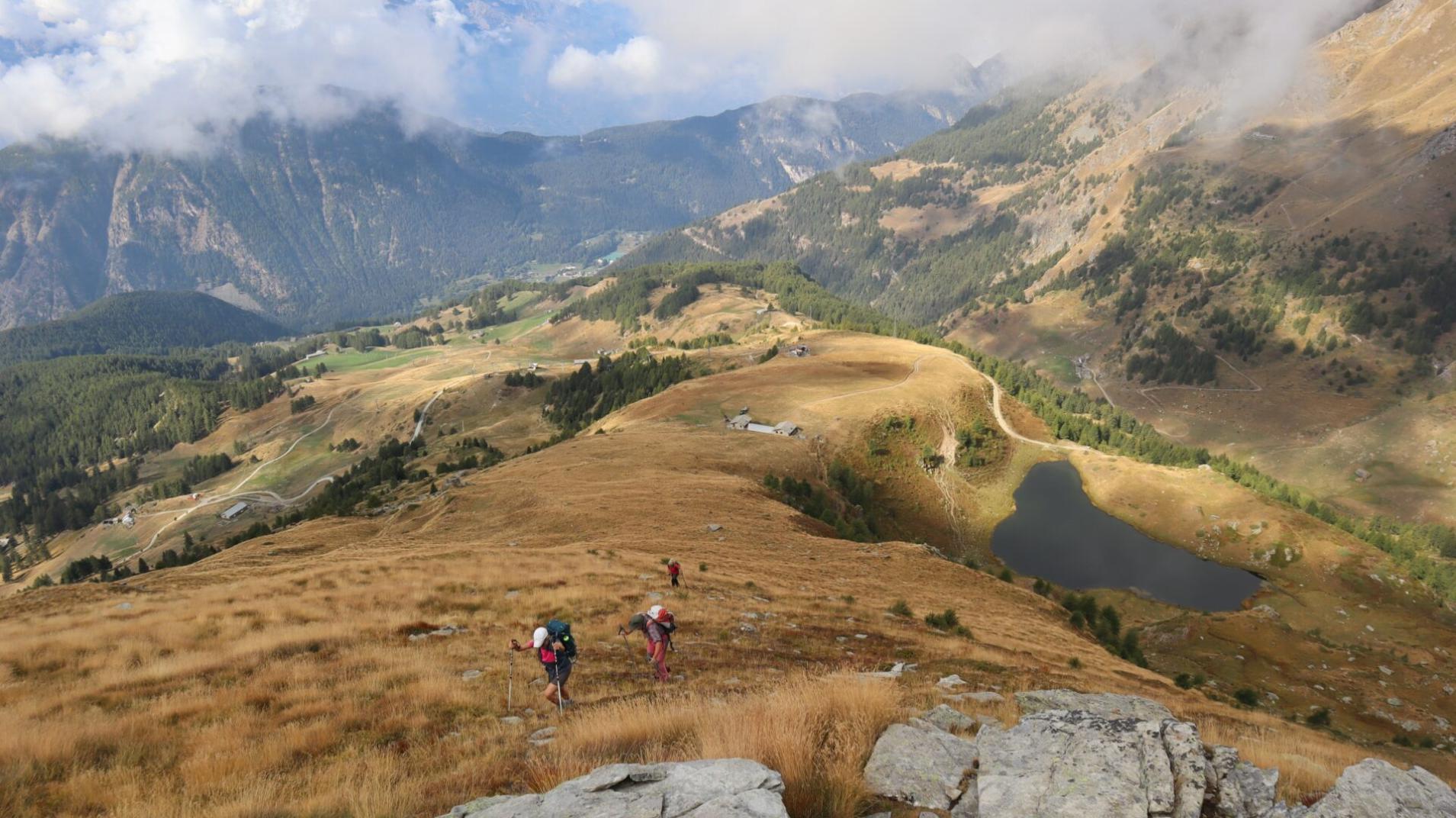
A loop tour from Antagnod to Antagnod through the forest of Joux and Extrapieraz along the final route of the ancient Ru Courtaud.
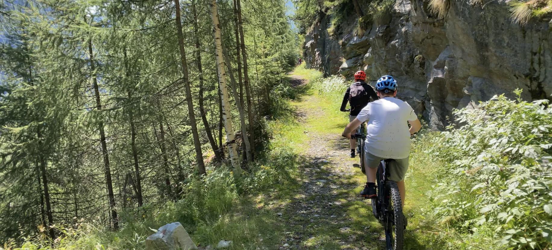
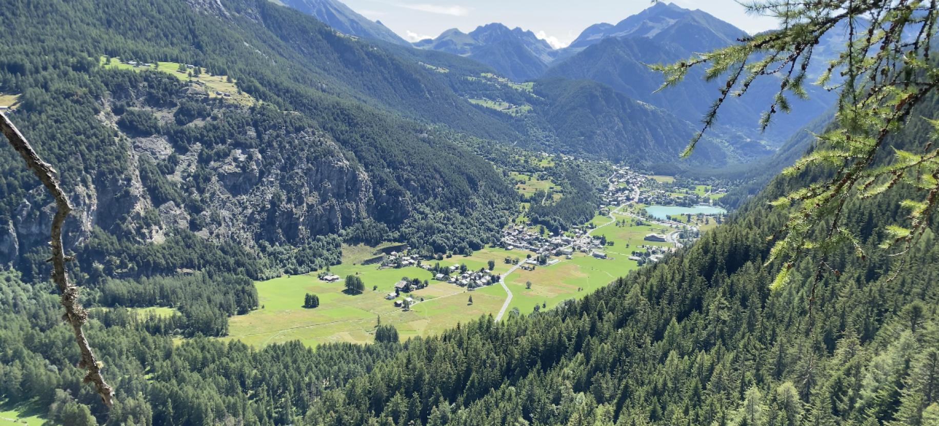
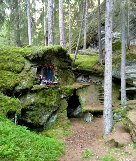
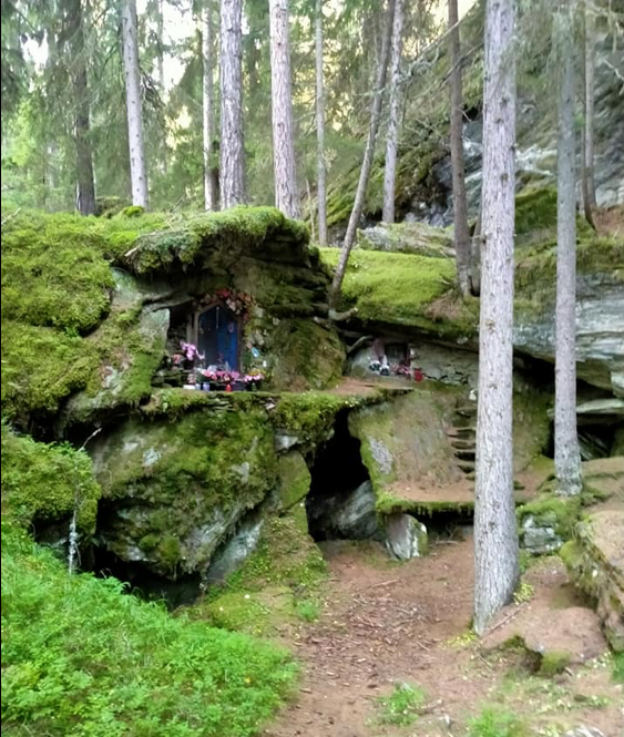
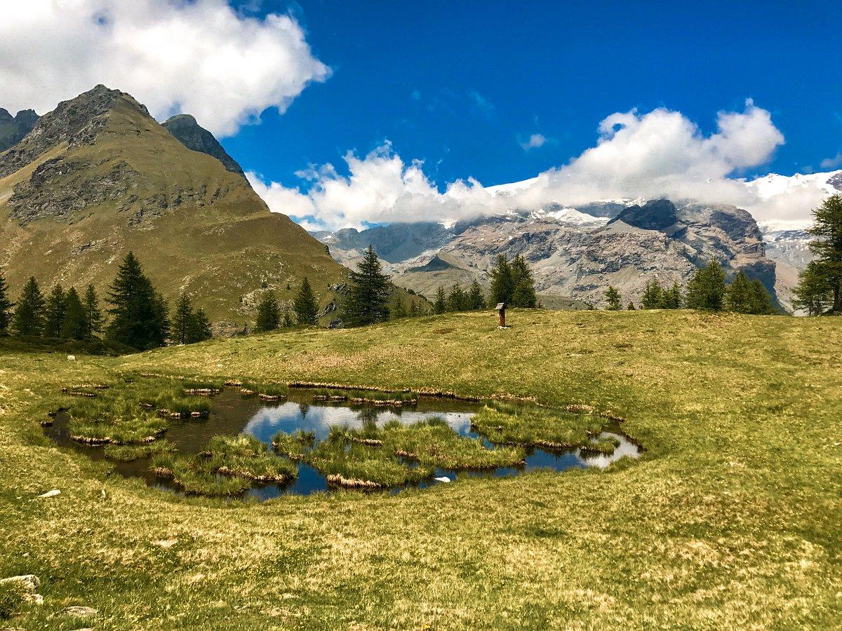
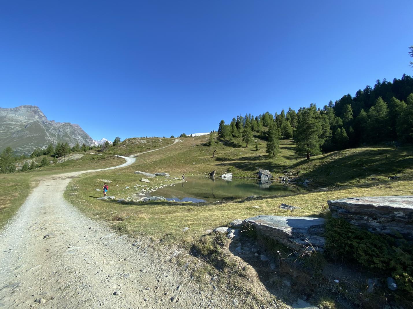
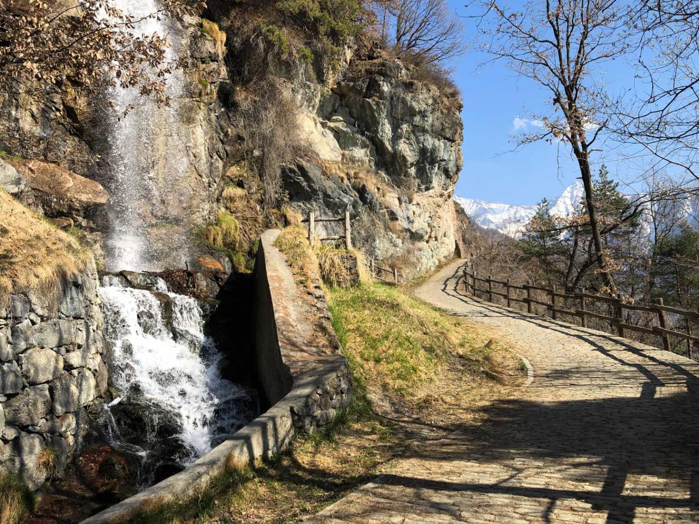
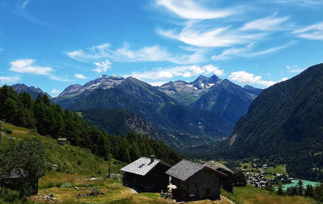
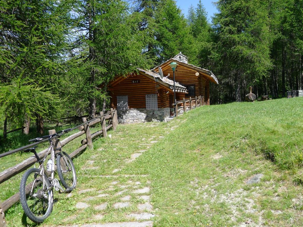
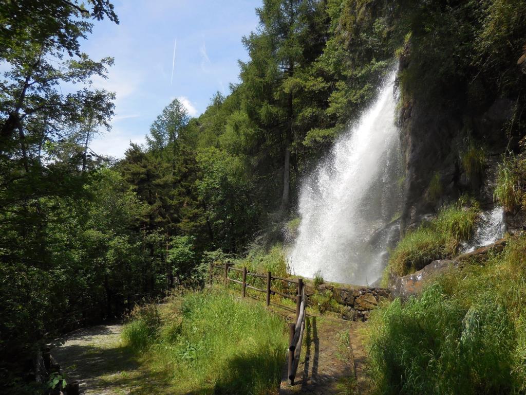
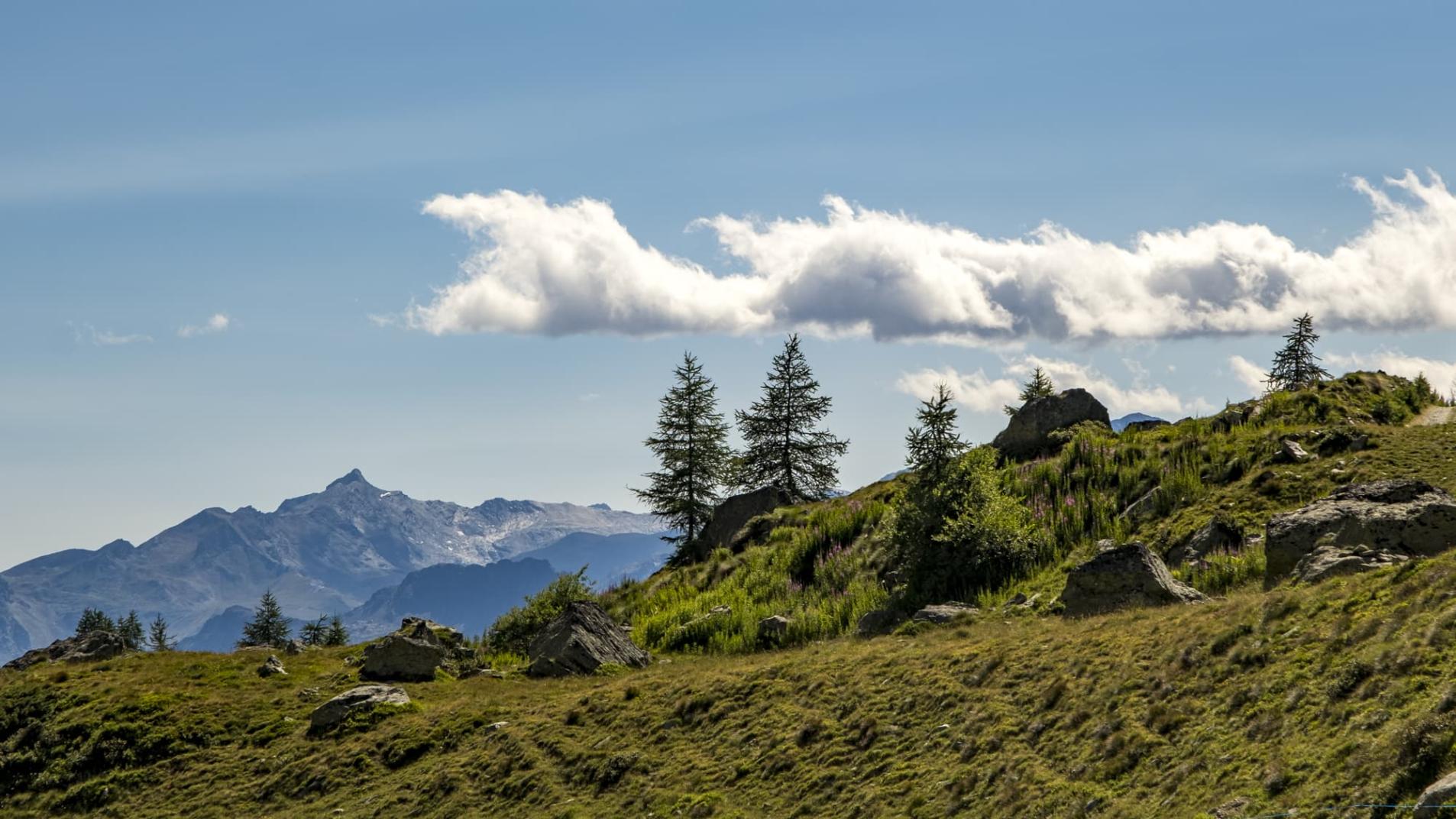
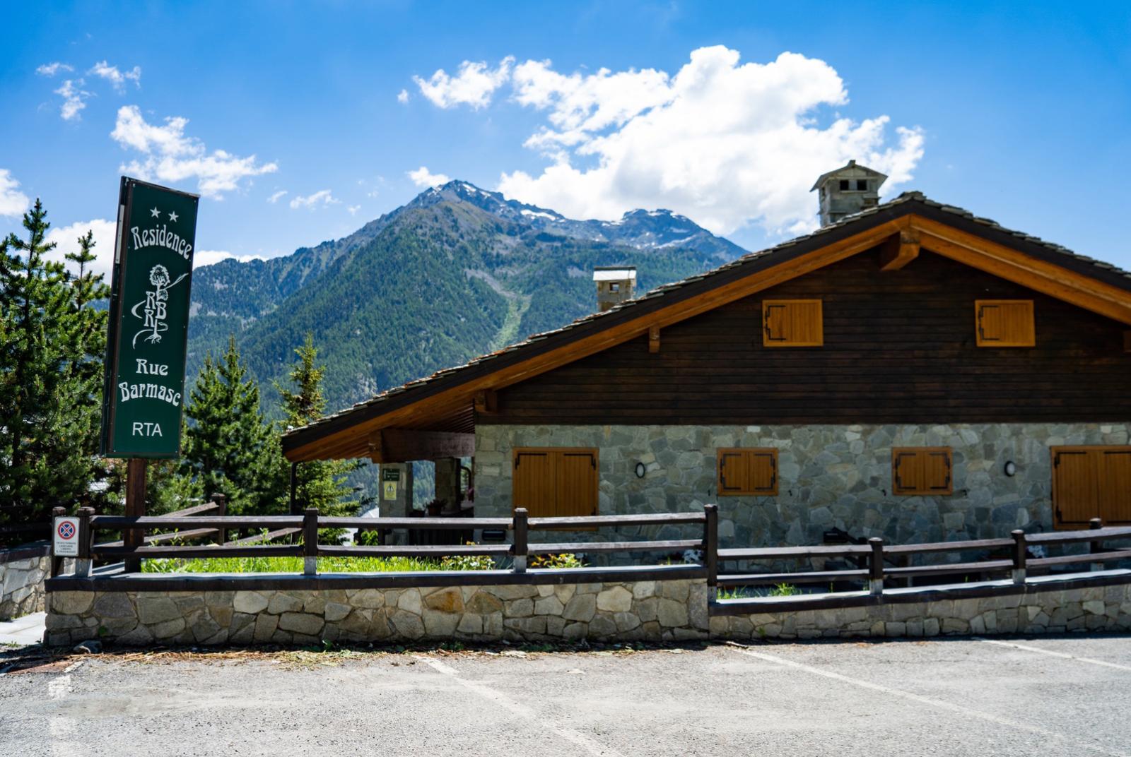
The use of a headlamp to tackle the tour is strongly recommended. Start from Antagnod and climb up to the Barmasc forecourt where the road ends. On reaching this point, a small wooden house can be seen, where the dirt road begins at its side, which we must take and follow. It will take us first to the pian delle signore, after the bridge over the stream we will find the first tombstone of the via crucis of the path to mount Zerbion. We still remain on the dirt track, which after a short while turns left and enters the forest. This is the highest point of the hike. The route continues on level ground to the piezometric well, passing through one of the most panoramic points of the entire Ayas valley. Having reached the large concrete structure, to its right we must take a rather impervious but short downhill path, where we must carry the bike by hand. We are in the Gran Ceita locality, where in ancient times the ru made a big leap, turning into a long waterfall. It is a challenging 50 metres of difference in altitude, but then we reach the easier and wider path again to enter the heart of the itinerary. Wonderful panoramic views along the dicesa, which ends in a clearing with a wooden bench.
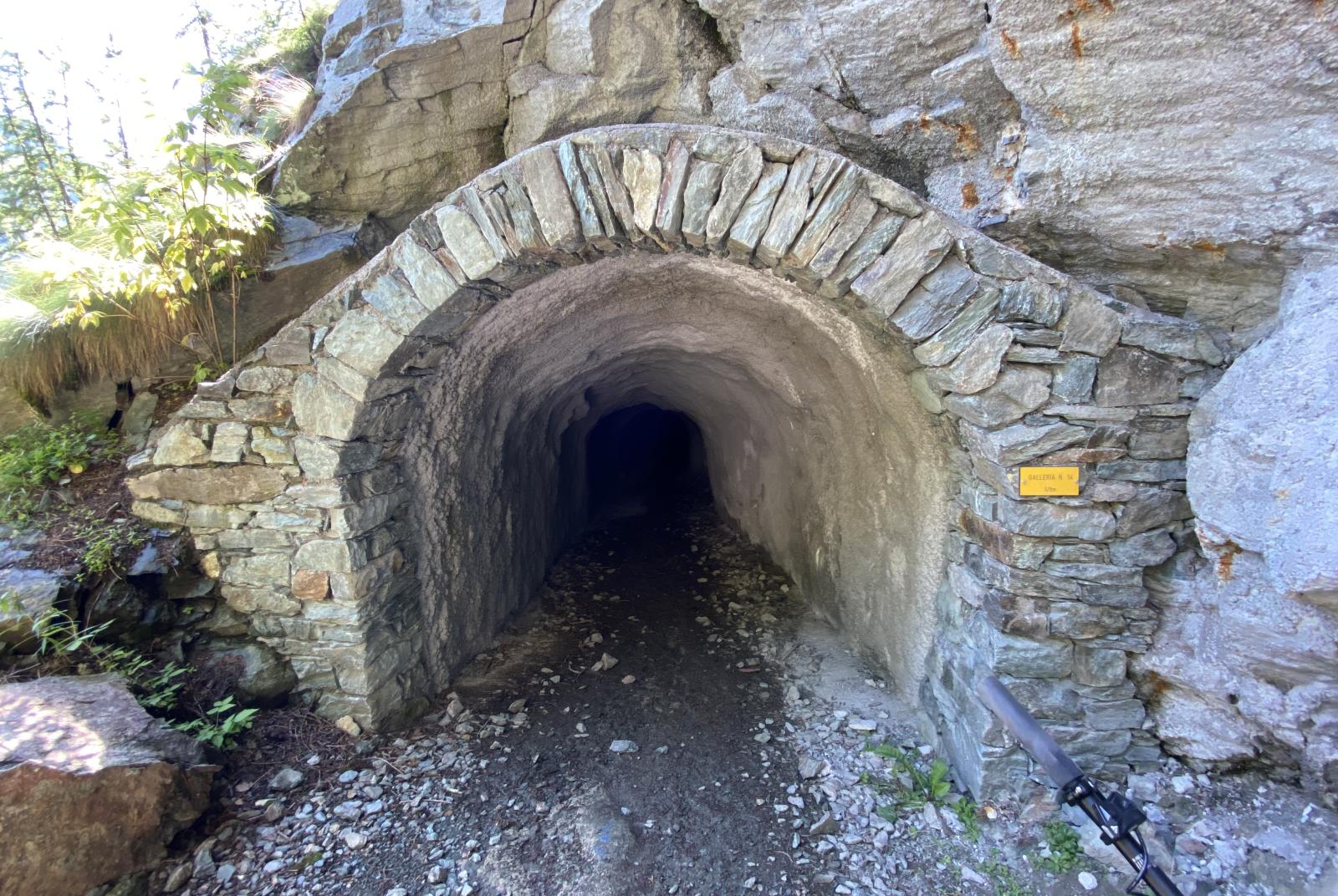
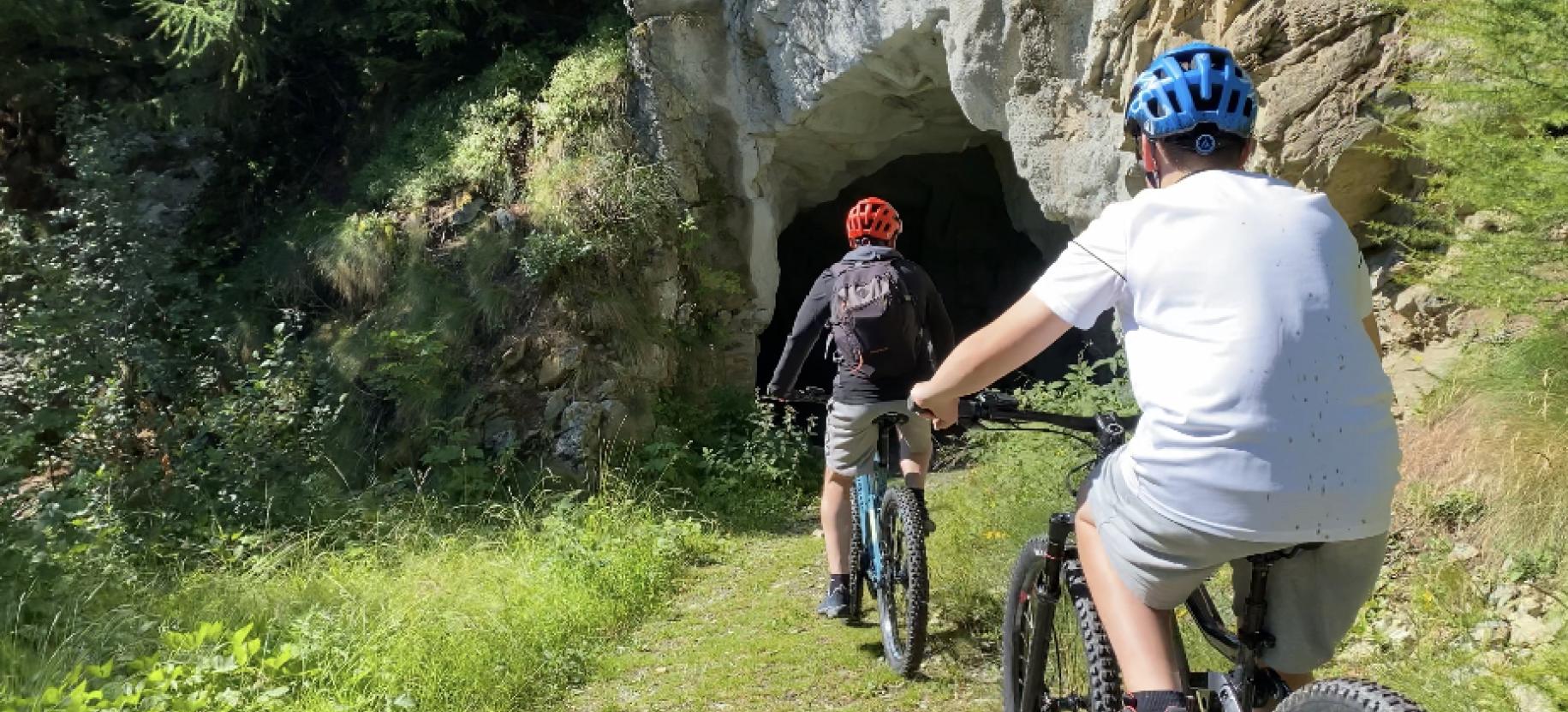
From this point it is necessary to equip your helmet with a headlamp, because shortly afterwards you will find the first two tunnels (No. 14 of 129 metres and No. 13 of 60 metres), which make up a route of 14 tunnels in the rock.
These tunnels are of various lengths, some straight others with slight internal bends. They have all been renovated recently so they have stone vaults at the entrances and concrete inside. Inside, the bottom is quite different from one to another, and some are very dark so if you do not have suitable light, it is always advisable to walk through them. Inside some of them there are exits that lead to unmissable panoramic balconies, taking the biker to see the most suggestive passages of the original irrigation canal, which has clung to this mountain since 1400.
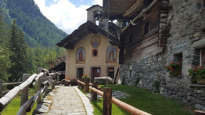
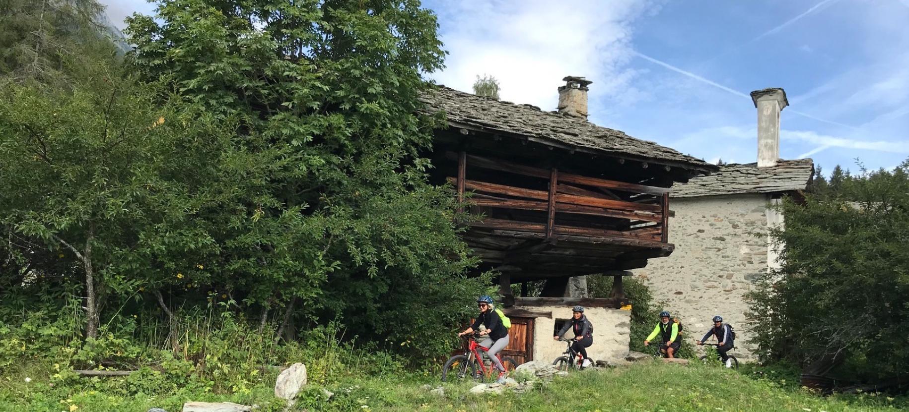
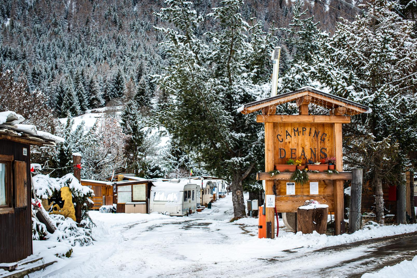
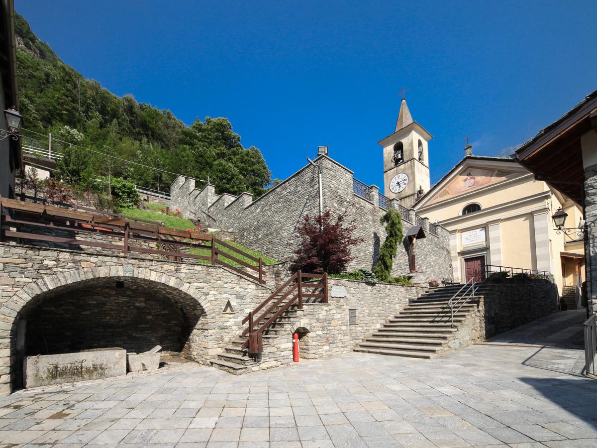
The entire route is downhill until the last tunnel, after which after 200 metres we find a large boulder on the left with a protective fence and a last beautiful panoramic balcony. At this point, a downhill trail begins, leading us down into the valley to Extrepieraz in the municipality of Brusson. This trail ends right on the banks of the Evancon stream, the lowest point of the tour. From this point, go up the river to the village playground, where you must take the first road on the left that leads to the entrance of the Deans campsite. Continue uphill, and through a few hairpin bends you reach the old village known as Serva. It is charming and smiling in the midst of green meadows. Leave the dirt road, cross the village and take the mule track towards Pracharbon. We are on the original road of the Ayas valley, the historic Kramerthal.
The mule track enters the forest and you will soon come to a crossroads where there are two paths going downhill to the right: here you must continue straight uphill and follow the main path that skirts the clearing and then leads to a path full of roots. The whole trail is clearly visible, climbing up to a large tree where it will not be difficult to see an arrow on the right, painted green on the trunk. Here the trail climbs further and reaches Pracharbon, from this point it joins the road that leads to Lignod and then reaches Antagnod where the loop ends.

